The Third Stroke

If you’re under forty, the numbers 1194 probably mean nothing to you at all.

At midnight on September 30, 2019, an old friend will fall silent. He won’t have died, or joined a strict monastic order, or simply become tired of waiting for me to call him. No, it’s worse than that. George the “talking clock” is being shut down, silenced forever.

Probably few people under 40 will know about George. It’s quite possible George isn’t even his real name. I first made his acquaintance one Sunday morning as a seven year old in 1962. The telephone had been connected to our house a few weeks earlier, and that Sunday morning my mother asked me to “ring the time”. The kitchen clock had stopped. These were the days when you needed to wind up the clock every night before bed, and last night it had been forgotten. I had never made a phone call before.  I stood in front of the telephone with great excitement, and no little trepidation, watched with envy by my younger brothers. We knew the number. It was the first call our telephone had ever made. The technician installing it had shown my mother how to make a call by dialling up the time.

I lifted the heavy receiver, listened to the loud purr of the dial tone and, hardly daring to breathe, dialled 1-1-9-4. The mellow tones of a very grand-sounding man came down the line.

“… at the third stroke, it will be eight, twenty-five, and forty—”

I panicked.

“Oh! Um – sorry – just wait – I’ll get my Mum!” I stammered into the handset. I dropped it and ran to her, yelling,

“Quick Mum, he’s on the phone! I don’t know what he’s saying! You come and talk to him!”

My mother looked up from the morning paper.

“It’s not a real person, it’s a recording.”

I was stunned. And then very disappointed. All this time I’d imagined a man in a dark suit and bow tie, seated by a small table, waiting for his telephone to ring. I’d imagined him in an elegant, Georgian era room with tall windows letting the light fall across a polished wooden floor. This room was completely bare of furniture except for an ornate chair and a small, spindle-legged table with a black Bakelite telephone on it, just like ours, and a large, old fashioned clock, which no one ever forgot to wind. Nothing else, no distractions from the important task of telling people the correct time.

Telephones were still too new to me and my brothers. Only two aunts and a couple of friends had them in their homes. Before ours was installed, any emergency required a dash across the road to use the neighbour’s phone, a very rare event. When ours was installed it was just for emergencies or important arrangements, and hardly ever rang. If you needed to call interstate (after you’d taken out a bank loan to cover the cost), you rang the operator and told her – it was always a her – that you wanted to book a long distance call. Usually the lines were busy and you had to wait for the operator to call you back. It was definitely not something to be taken lightly – no dialling up Aunty Nell in Sydney for a chat when Mum had a spare moment. That was what letters were for – a quiet half an hour while she boiled the kettle, warmed the teapot, and sat down at the kitchen table with a pen and the writing pad.

Our telephone was by the front door. It squatted on top of the book case, dominating the space, a symbol of modernity and affluence. This was also the coldest part of the house, ensuring no long calls and to underline this point, there was no chair. No conversation would ever be long enough to require a chair.

The phone itself was heavy enough to be used as a weapon, should the occasion demand. It was built of solid black Bakelite, with a smooth – not coiled – fabric-covered cord and a rotary dial. Two silver buttons pinged loudly when you lifted the receiver, itself so heavy it could double as a nutcracker. The dial had numbered holes around it, and you simply stuck a finger in the correct spot, dragged it round to the stop bar, and let go. When it rang, the shrill metallic tones woke the whole house. Or would have if anyone was uncivilised enough to call after nine pm. If the phone rang then, it could only be bad news.

There’s an hilarious video on the internet of a pair of present-day teenagers examining an old fashioned phone. They figured out that you “rebooted” it by replacing the receiver each time you needed to try again. But they never worked out that you had to be holding the receiver off the cradle while you dialled. And they think we’re techno-dummies.

https://interestingengineering.com/video/watch-two-teenagers-try-to-dial-a-number-on-an-ancient-rotary-phone

I overcame my shyness and George and I became very relaxed with each other. I could ring him up at any time – it was a free call – and have a chat if I felt like it, although he liked to do most of the talking. George was the first person I ever heard use the word “precisely”. But time has moved along, and no one needs to call George any more. We use our smartphones to tell the time. As well as it doubling as a watch, I can point my phone at the sky, tell my friends on the opposite side of the globe the name of the constellation I’m looking at, and send them a photo of it a moment later.

George has been well and truly superseded. But one day the unthinkable might happen. What if one day all our mobile phones went flat during a power outage, and the digital bedside clock lost its place? When the power blinked back on, we might wish for the soothing mellow tones of my sartorially-attired friend George to tell us, that at the third stroke, all would be well.

©Joanne van Os
The Last Leg

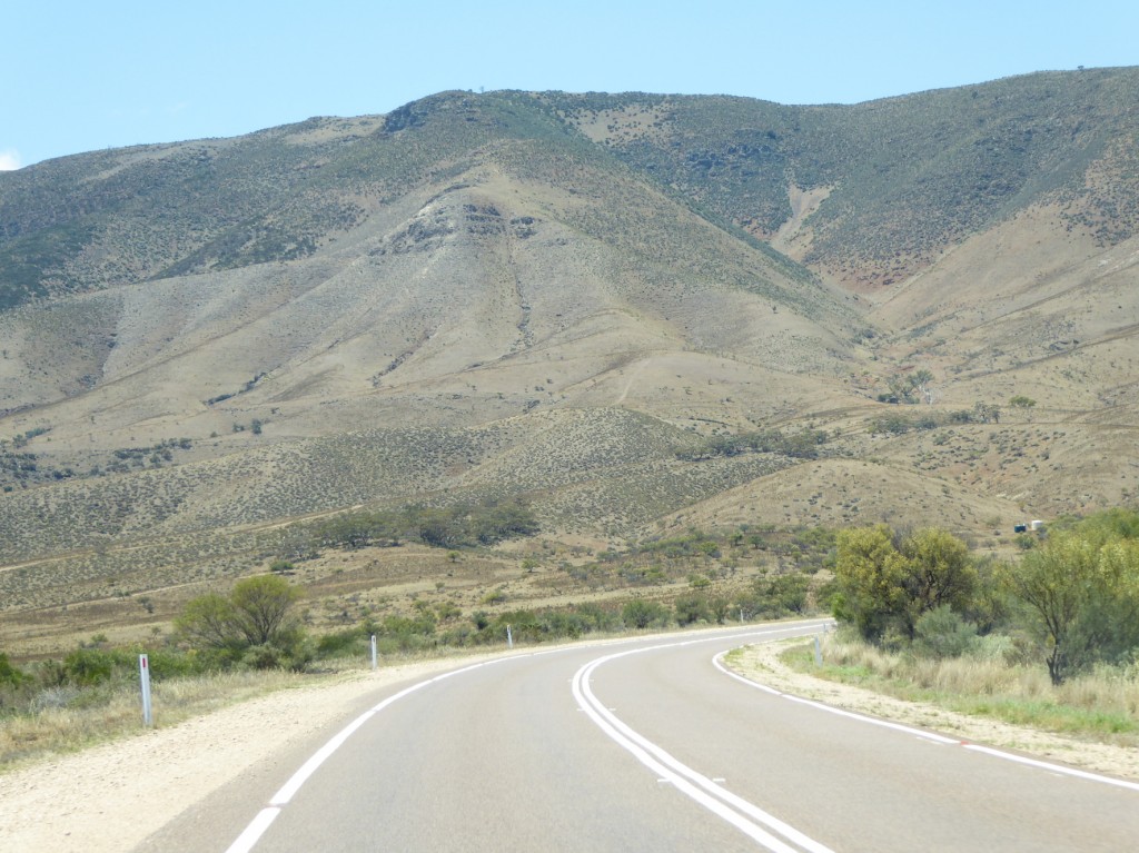
Leaving the Eyre Peninsula and feeling like we’d barely scratched that surface, we turned right towards Port Augusta. No choice there – you have to pass through Port Augusta no matter which way you’re going. We could see these hills in the distance, very faint and blue until we came nearer and realised they were the southern Flinders Ranges. The largest mountain range in South Australia, the Flinders Ranges run for 430 km from Port Pirie up to Lake Callabonna, a dry salt lake.
They are such a welcome sight after driving thousands of kilometres through billiard-table country. Horrocks Pass (below) is a wake up after so much flat land and straight roads.

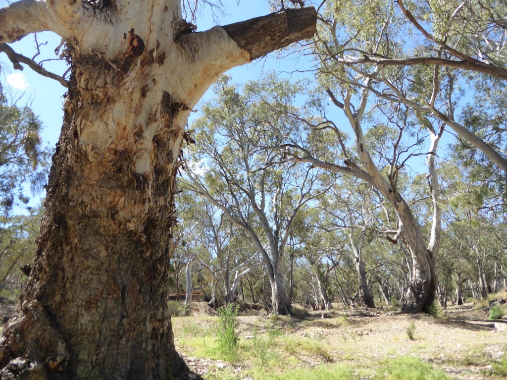
Beneath towering Mt Remarkable lies the little town of Melrose, population about 400. It’s a classic rural Australian town, with some very old stone buildings and a couple of ancient pubs. Explorer Edward John Eyre came through here in 1840, closely followed by European settlers. We pulled into a pretty little caravan park on the banks of a bone-dry creek lined with those wonderfully iconic Southern Australian eucalypts.

“If you’re looking for something to do in downtown Melrose tonight,” said the manager,  “you could come along to the Barefoot Bowls social evening?”  We’d never played bowls before but that didn’t matter. Turned out we were the only visitors in the large crowd of locals. We were welcomed like celebrities (coming from Darwin really helps!) and each put into a team, with lots of coaching and encouragement from the more senior onlookers. Much to our surprise we had a lot of fun, and didn’t embarrass ourselves too much. Like so many country towns, Melrose suffers from the loss of its young people to the city. They don’t leave for the bright lights – it’s because there’s just no work. Only one child can inherit the farm, so the others have to find employment elsewhere. In the long term it sucks the lifeblood out of a place.

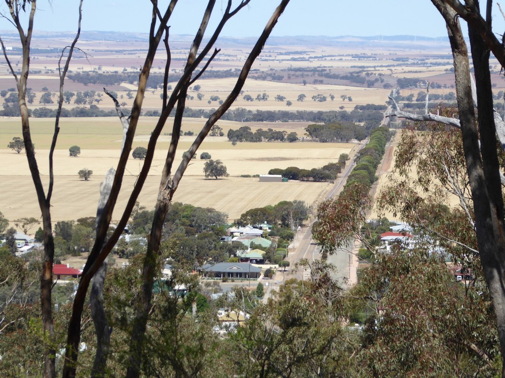
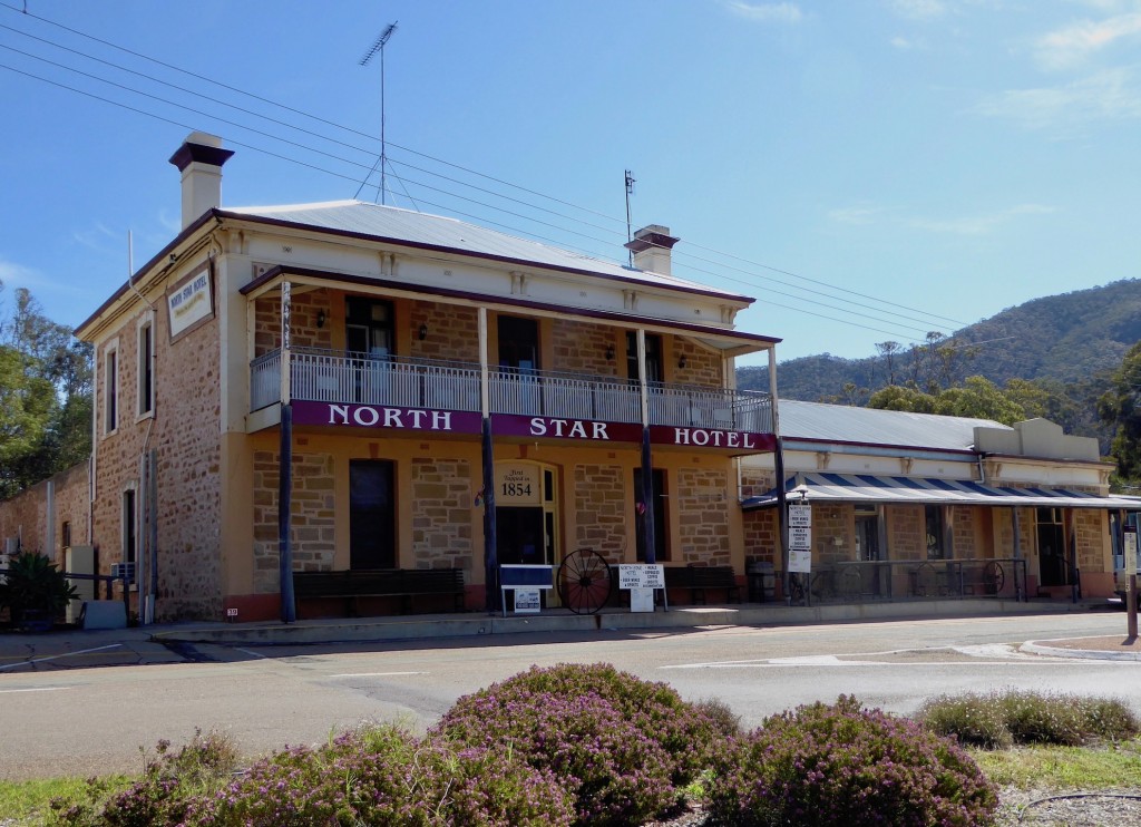
Above – the view from Mt Remarkable.  Melrose is mountain bike central – part of Mt Remarkable is crisscrossed with mountain bike trails, which meant we lost our way a few times trying to work out which one was a foot trail and which one would turn out to be a much scarier bike trail! The town hosts a Fat Tyre Festival every year – which, we discovered later, our Adelaide grandsons take part in. The hotel below has been there almost as long as the town itself.

From here we drove down through the Clare Valley to Adelaide, stopping for breakfast in Clare, the main town in the region. It’s an attractive town, but we noticed a lot of empty shops, and later counted 15 in the main street alone. The cafe owner told us the newsagent had shut its doors just the day before – how can you have a large town without a newsagent?  This terrible drought is hitting very hard here. We heard that this season the wheat is half its usual height, and the grain content is much lower than normal. All the way down the Valley, we passed through tiny, empty villages, houses and businesses boarded up. Maybe that’s natural attrition, but it does seem like the heart is being pulled out of some parts of the country.

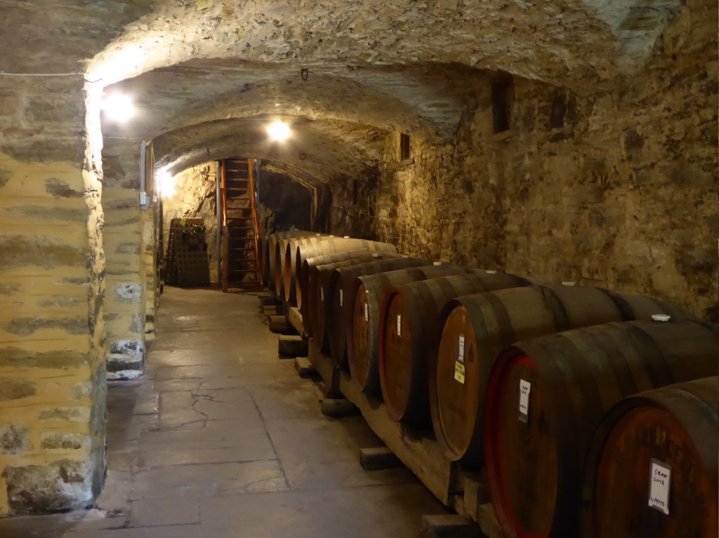
Not far from Clare we stopped for a little while at Sevenhill Winery, just to look at its very old cellar. This one is a true cellar – it’s underground! It was the first vineyard in the Clare Valley, established in 1851 by the Jesuits to make sacramental wine.

Lex’s daughter Sophie and husband Jim live near Adelaide with their three sons, and we had a lovely few days catching up with them. It’s good to be able to hang out with the grandsons – we wish we could do it more often! The Anderson Hill winery in the Adelaide Hills was a great spot for a family gathering – with excellent wine and pizza in the sun.

From Adelaide it was down into the Fleurieu Peninsula to see Mark Day, who has a beautiful property near Yankalilla. The moment we arrived, Mark piled us into his old 4X4 and we headed out to the mouth of the Murray. It’s Australia’s longest river at 2520km. It’s 16th in terms of overall length, but it’s the third longest navigable river in the world, after the Amazon and the Nile, with 1986 km of navigable waterway.  Five barrages built during the Great Depression control the flow – a controversial issue. We inspected it from the upstream side of the Goolwa barrage, and then from the seaward side, a scant 200 metres from where the river enters the ocean, at the right side of the photo. Mark has a strong link to the barrages – his father worked on their construction in the 1930s.

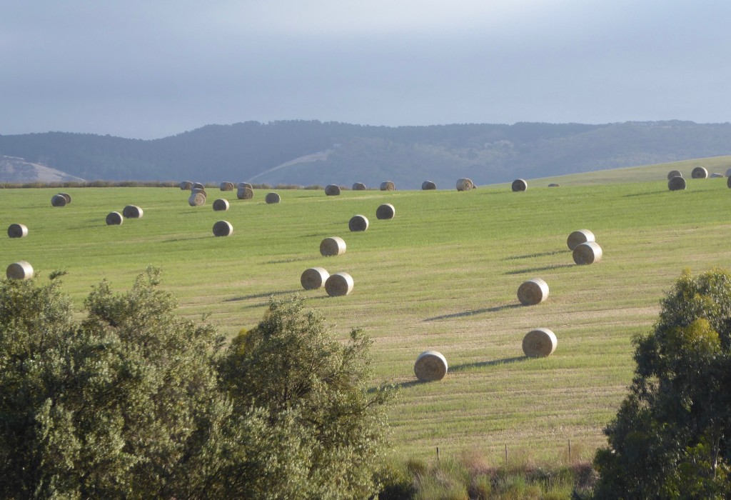
On the way home we stopped along the surf beach and collected enough cockles for a feast of Pasta Vongole for dinner. We were intending to stay just the one night, but as we drove off the Wellington car ferry next morning, Mark rang – I’d left my laptop behind! Decided not to trust it to the postal system, and turned around, crossed the Murray again and drove the 2 hours back. But it meant we had another great night with a good friend. Mark has created a magnificent garden here – the house and the huge olive trees surrounding the property are 160 years old, and National Trust listed.I have to include this photo of the paddock across the road – it reminded me of a Jeffery Smart painting. Very precise and surreal.

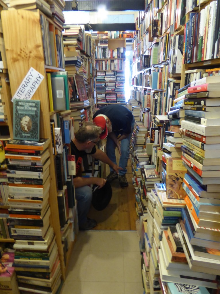
Castlemaine was our next stop. Our good friends Jen and Chris moved here from Darwin just a few weeks before, so we were keen to find out what the attraction was, apart from cooler weather.  It’s a very interesting place, with a history going back to the gold rush days. Lots of well-restored historic buildings line the streets, which are wide and easy to navigate. There seems to be thriving arts and music scene, as well as lots of great food, and plenty of entertainment. It was weird but wonderful driving all this way, then going to the local Theatre Royale and listening to a great band from Bathurst Island – B2M! We also found a fascinating bookshop. The aisles were so narrow you had to move sideways – very carefully. But it’s clearly a shop owned by someone with a fierce love of books. We left with a few!

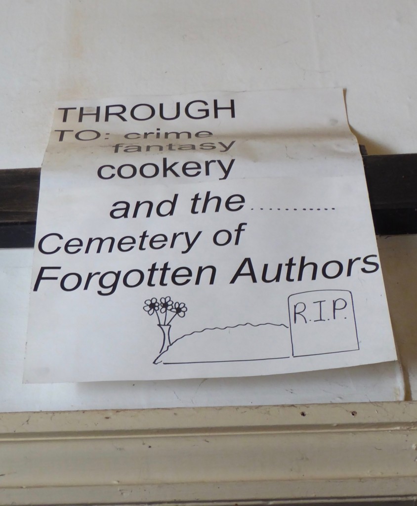
And I really hope my books never end up here…

After Castlemaine we spent two weeks in Melbourne with my 89 year old Dad, before making a quick run up to Batlow in NSW to attend the memorial service for a very dear old mate, Luke McCall. Luke died in Bairnsdale on the 9th of November, while we were in Adelaide. I’d been looking forward to seeing him again when we reached Victoria but his cancer got there first. We did have a good last phone call a few weeks before. I’ve known Luke since I was 20, first meeting him at Port Keats (Wadeye) in the NT. He’s the last of the true old bush legends, someone who grew up in the pastoral industry in the days when it was a very hard game, long before road trains and helicopters. People came from all over Australia to farewell him. His longtime friend and soulmate Pat McPherson brought him down to Bairnsdale to look after him in his last months, and organised the memorial back in Batlow where Luke had retired about 25 years earlier.

Vale Luke. May all the horses be spirited and true.  1932 – 2018

So, instead of watching the country through the windscreen, we’ll be watching the surf out in front of this house in Phillip Island for a few weeks. It’s peaceful and quiet, and there are no tents needing putting up or packing away. It’s even getting warmer! We’ve clocked just over 18,000 km, and have seen some astonishingly beautiful parts of our country. We camped – old school! – like that young bloke said – with our car, tent and esky, and didn’t feel like we were doing it hard at all. Except for the cold. Did I mention it was cold?

Thanks for coming along on this journey with Lex and me – we hope you’ve enjoyed it too. It’s now Christmas Eve, time to post the final blog and wish you all a very happy and safe Christmas with your loved ones. We’re a long way from ours, but we’ll be home directly, kids!

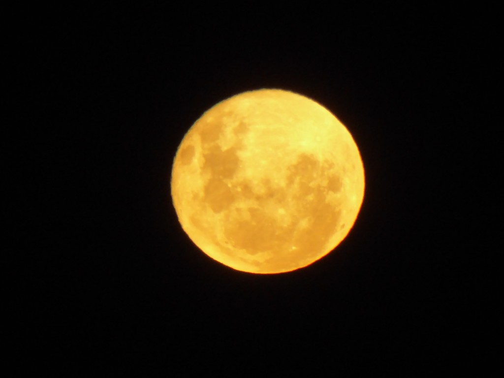
Here is a Christmas moon for you – the full moon last night, rising over the grassy paddocks behind us. Cheers for now, and we wish you all the very best for the New Year!


The Nullarbor and the Great Australian Bight

The first (European) name Australia was ever given was “′t Landt van Pieter Nuyts” or Pieter Nuyt’s Land. Nuyts was a Dutch East India official on board the VOC ship “Golden Seahorse” when it mapped the coast of the continent from Albany to Ceduna in 1626. Fortunately the name didn’t stick. The next European to venture that way was explorer Edward John Eyre who crossed it with a party of Aboriginal men some 200 years later, suffering extreme hardship on the way.

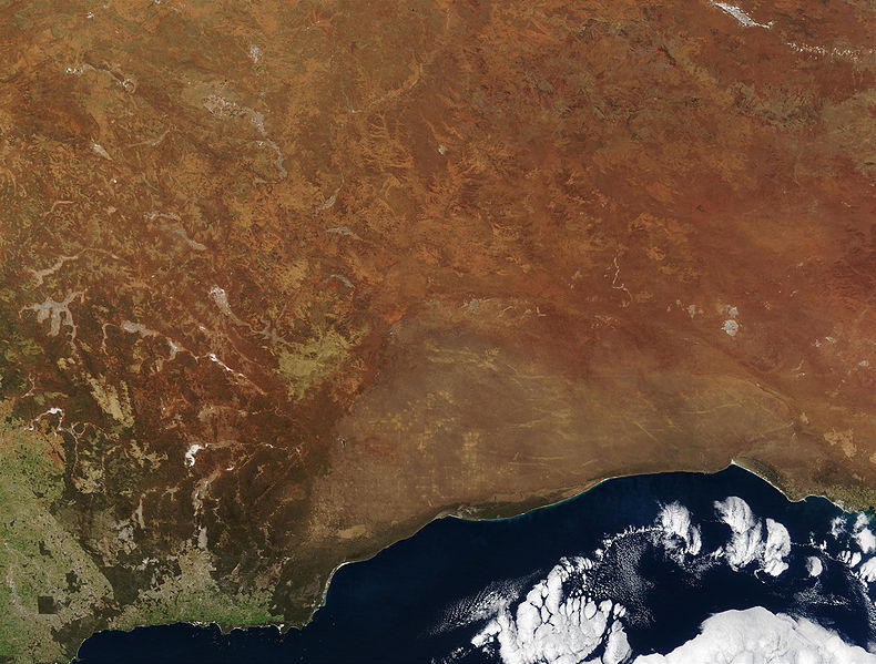
The photo above is courtesy of the public domain, Wikipedia. The lighter brown shows the size and extent of the Nullarbor Plain, as seen from space. It’s way bigger than what you imagine driving through it on a strip of bitumen.    (Credit Jacques Descloitres, MODIS Rapid Response Team, NASA/GSFC)

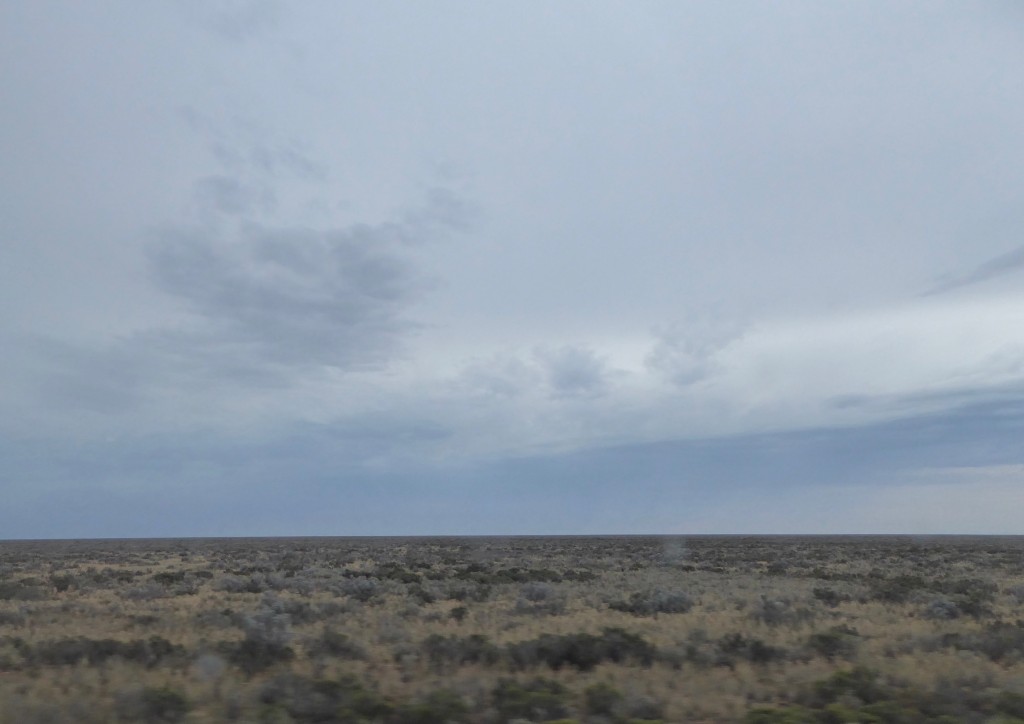
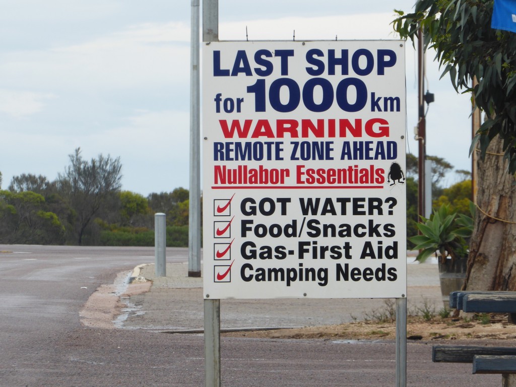
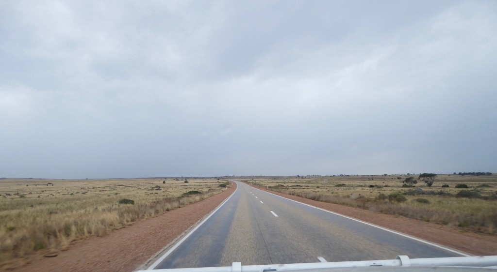
Fortunately we had a slightly easier time of it than Eyre did. “Crossing the Nullarbor” is one of those pilgrimages Australians do – it’s like visiting Ayers Rock or the Great Barrier Reef, or Cape York. ‘Nullarbor’ means ‘no trees’ in Latin, and there are sections of it where you can see nothing but grass and sand to the horizon, at least from the perspective of the highway, but mostly it’s low scrub with occasional spindly trees.  For most people it’s a once in a lifetime trip, and it has a certain romance attached to it, but in reality it’s an easy drive in an air-conditioned car with a conveniently placed roadhouse every couple of hundred kilometres.  Unlike the sign at the Penong general store at the eastern end of it would suggest!

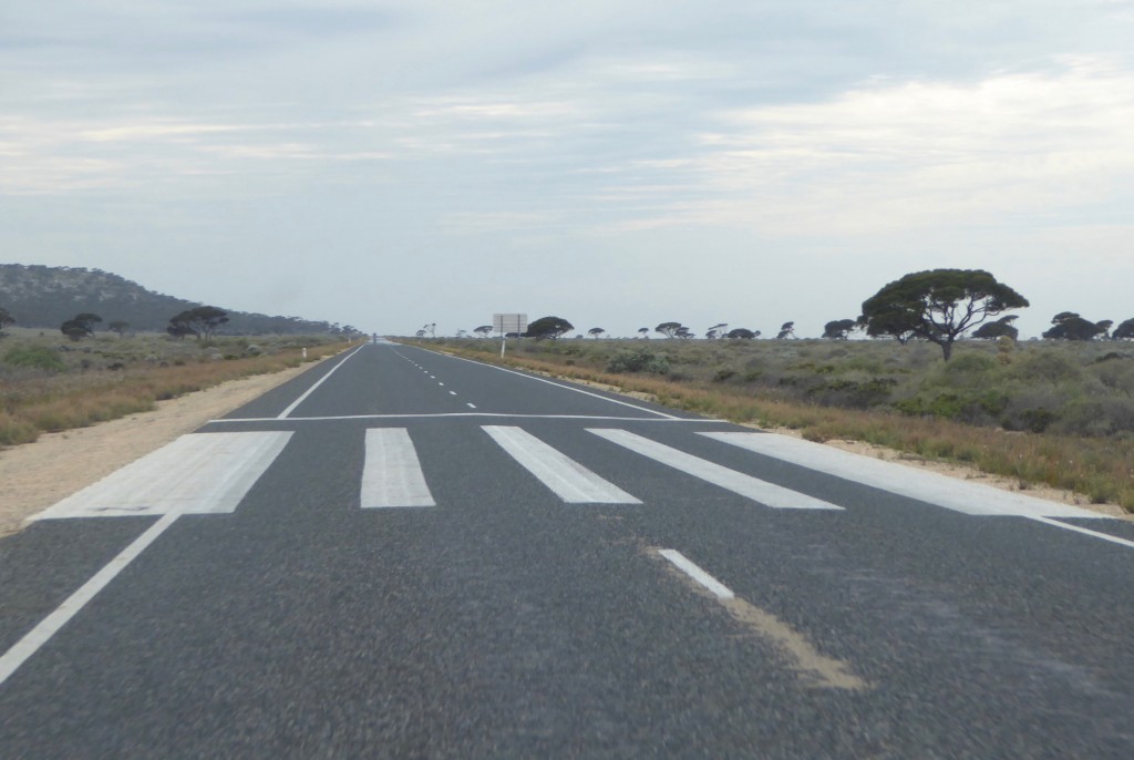
Every hundred or so km, on a straight stretch (and there are a few of those), you see these stripes painted on the road, about a kilometre apart. They’re landing markers for the Royal Flying Doctor service. Clever use of a remote highway, and a lot more sensible than maintaining airstrips.

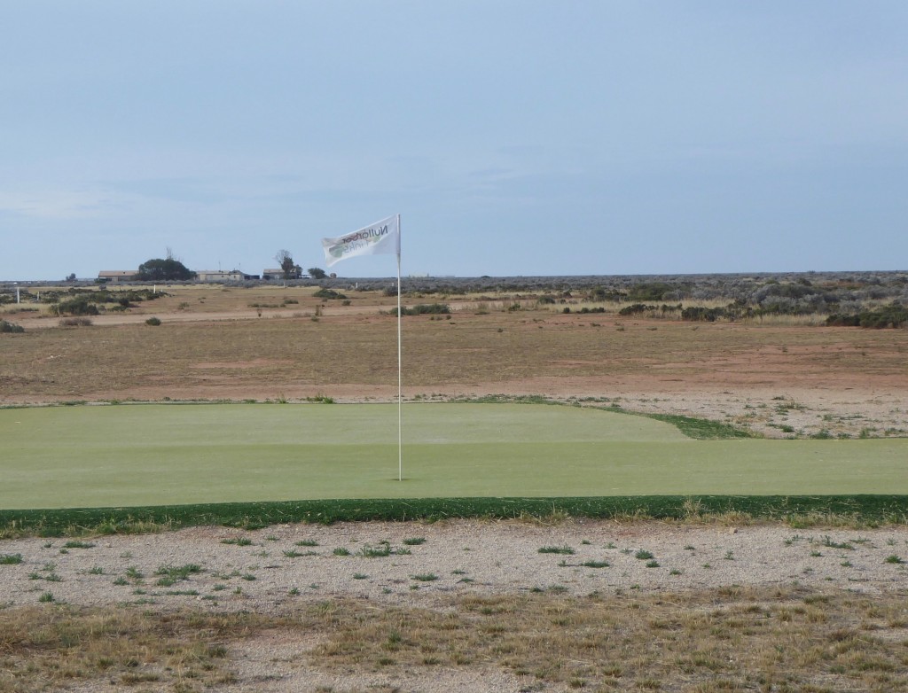
We camped the night at Nullarbor roadhouse, behind the pub, and almost beside the ‘green’ on Number 5 hole of the Nullarbor Golf Links. You can play 18 holes of golf from Kalgoorlie to Ceduna (or vice versa), on what must be the longest and most remote golf course in the world. There’s definitely more rough than fairway though!

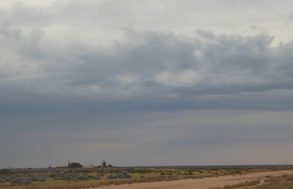
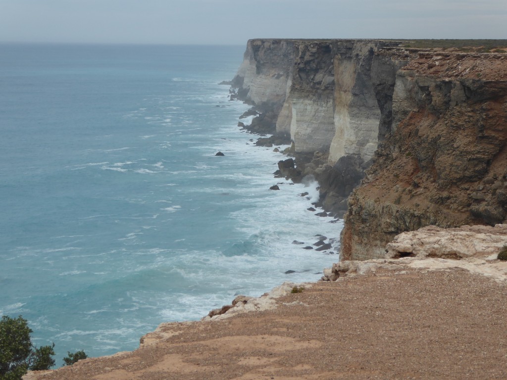
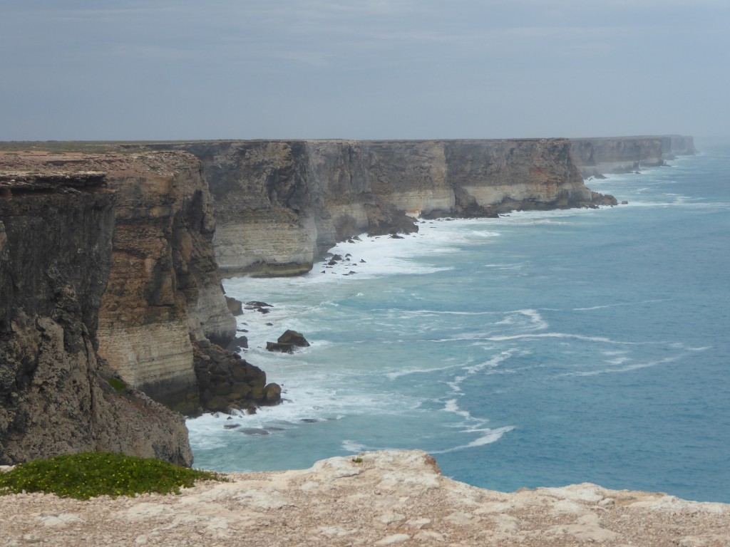
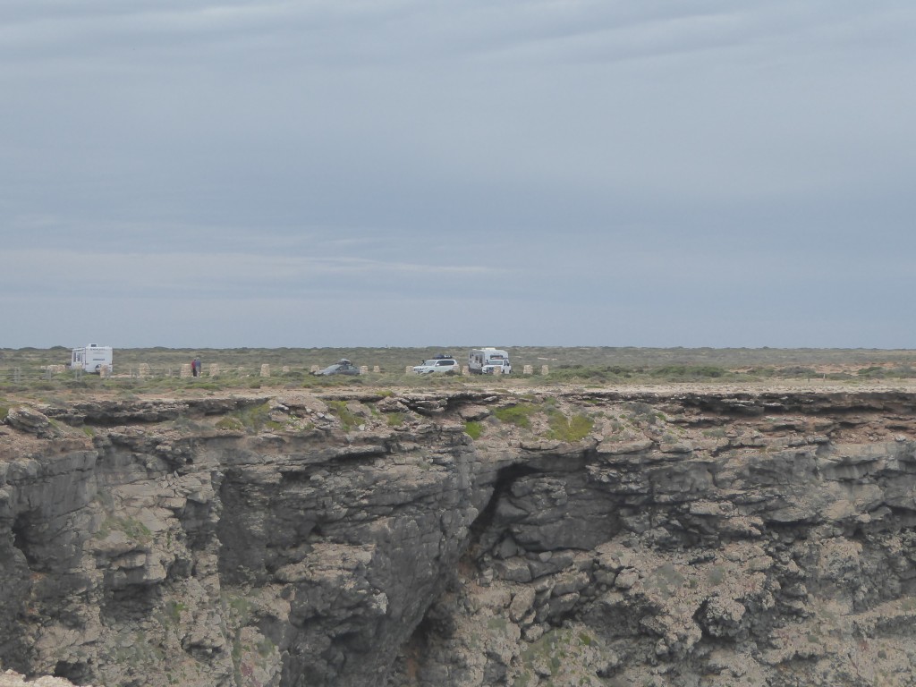
This is the old Nullarbor homestead, across the airstrip. We might have been sleeping “in the desert at night, with a million stars all around” like the Eagles’ song says, but it was totally cloudy and grey, and sadly no stars. It didn’t auger well for the highlight of the Nullarbor, which was first thing next morning – visiting the Head of the Bight.  We can’t really complain, as we’ve had such perfect weather for so much of this trip, freezing windblown tents aside. And as we discovered, no kind of weather could detract from the feeling of standing right at the point where the Southern Ocean reaches the furthest northward into the Australian continent – the Head of the Bight.

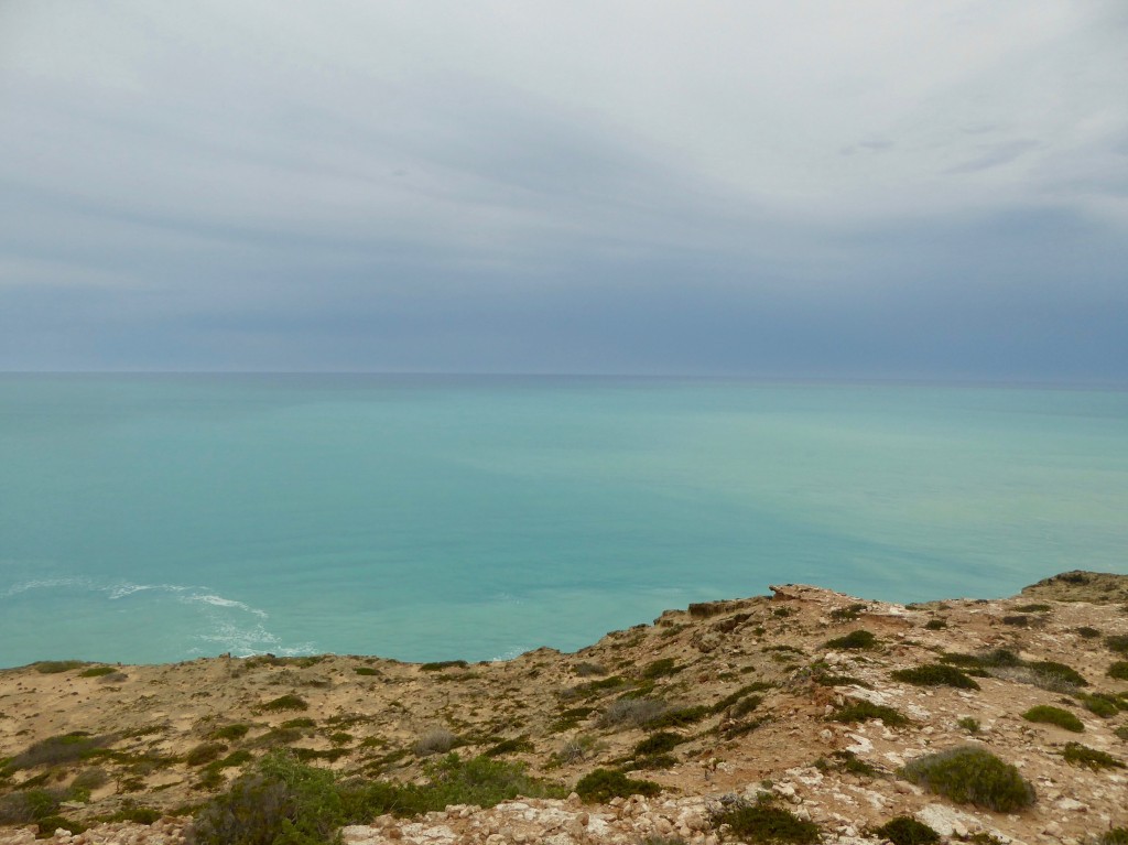
Looking straight out to sea – south into the Bight (above) and into the incoming weather.

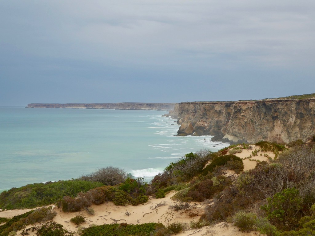
(Above) The view looking west.

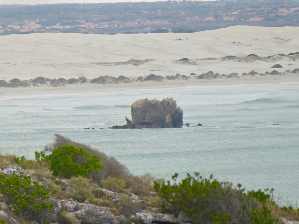
It’s a dramatic and inspiring piece of country. And, it’s the exact point where the high rugged cliffs give way to sand dunes. Looking west it’s all vertical cliffs and jagged rock, and when you turn to look east, it’s completely different.

Leaving the Bight and reaching the edge of the Nullarbor Plain felt like we were reaching the end of the adventure. The first sign of civilisation is Penong, 1000km from the last town – Norseman in WA. It’s a small place, and we didn’t meet anyone bar a grumpy service station owner, but his wife makes the BEST meat pies in the country. They were hot, huge and delicious. A short drive further on, the quarantine station at Ceduna caught us by surprise – we’d restocked with fruit and veg at Esperance, and lost most of it here. It was fortunate we’d had a good lunch already! We turned left after a drive around the town, and headed down into the Eyre Peninsula.

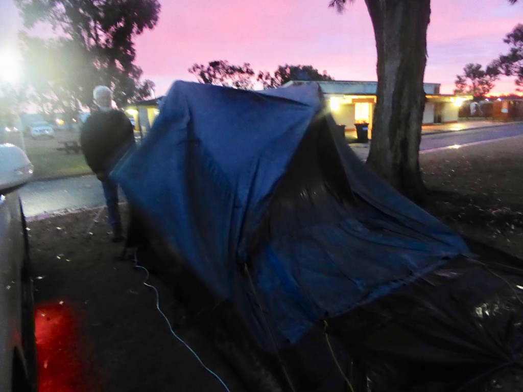
Streaky Bay is a place I’ve always wanted to see. It’s a much more attractive place than Ceduna, with a bigger town centre and business area. We pitched our tent in the Council caravan park, one row of caravans back from the beach. Before this trip, it had been a long time since we’d stayed in caravan parks, and it’s been interesting to see the different approaches to camp kitchens. They used to be dodgy-looking places you wouldn’t feed your dog in, but now they are (mostly) very salubrious and useful. We were eating dinner and watching tv in the comfortable lounge of this one, when Lex decided to go and check the tent, as the wind was sounding a bit ominous. He rushed back a minute later to get me to help…

The photo doesn’t show the wind speed, which was blasting through at about 35 knots. Our poor tent was almost turned inside out and held flat by the force of the wind. We dragged everything out and then struggled to dismantle it (it was a lot darker than it looks here) and finally managed to bundle it behind a building where we could fold it up out of the wind. We headed into town feeling very despondent and found a room for the night, in a pub built in 1862 and still going strong. After such a dramatic couple of hours we decided we needed a restorative drink and headed to the bar, where we stayed till closing, with the congenial publican buying us drinks!

Next morning we returned to our camp site (we’d paid for 2 nights) and erected the tent to check the damage, expecting that we’d have to rethink the rest of our travels.  We were amazed to discover that it was absolutely fine! We checked the stitching, the tent frame and all the reflexive joints, and there was nothing amiss. It’s a Coleman Dark tent, if anyone wants a recommendation!

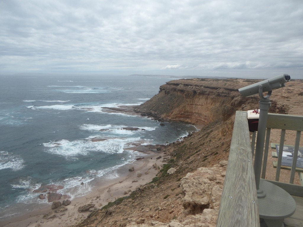
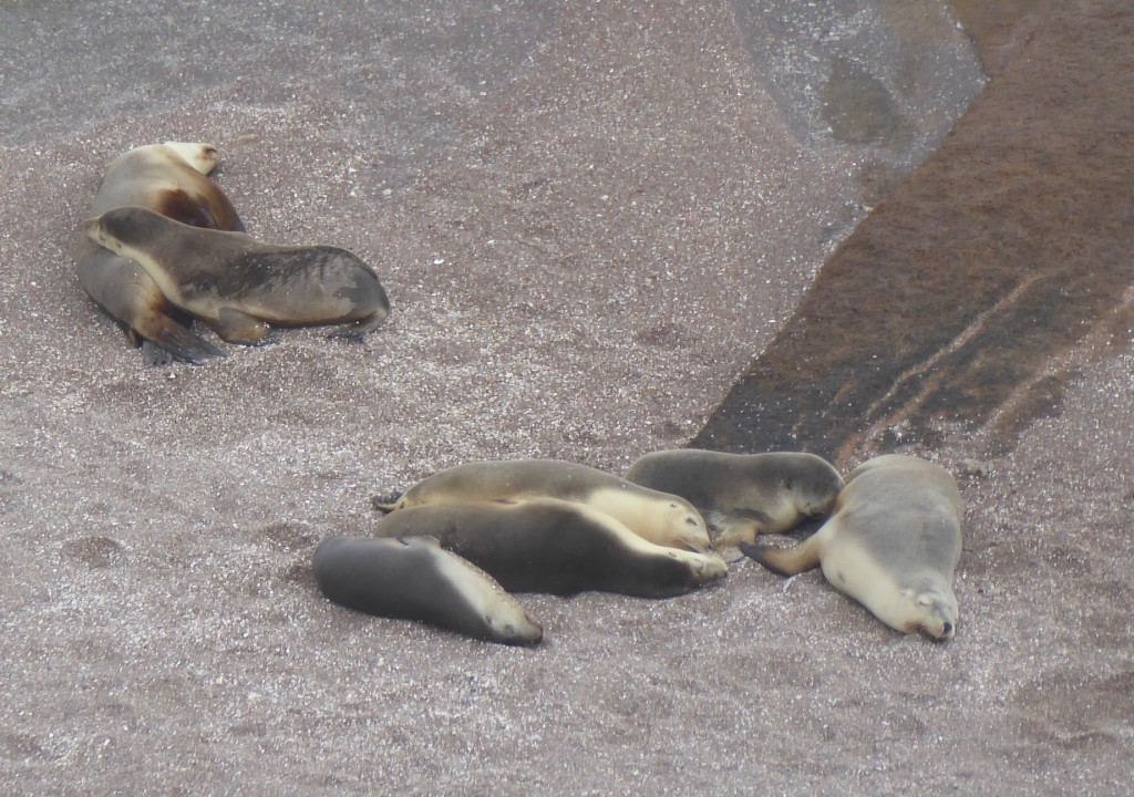
The weather forecast was for more of the same, so we bailed and headed for Venus Bay. The unplanned stops are always the best. On the way we spotted a sign that said  “Sea Lion Colony – Point Labett” so we made a detour. What a find! It was 45 km down a gravel road which kept out most traffic, and there was no one else there except for one other couple. No flashy signs, no kiosk or toilets or any structure at all except for a lookout platform overhanging a 50 metre drop to the rocks below.

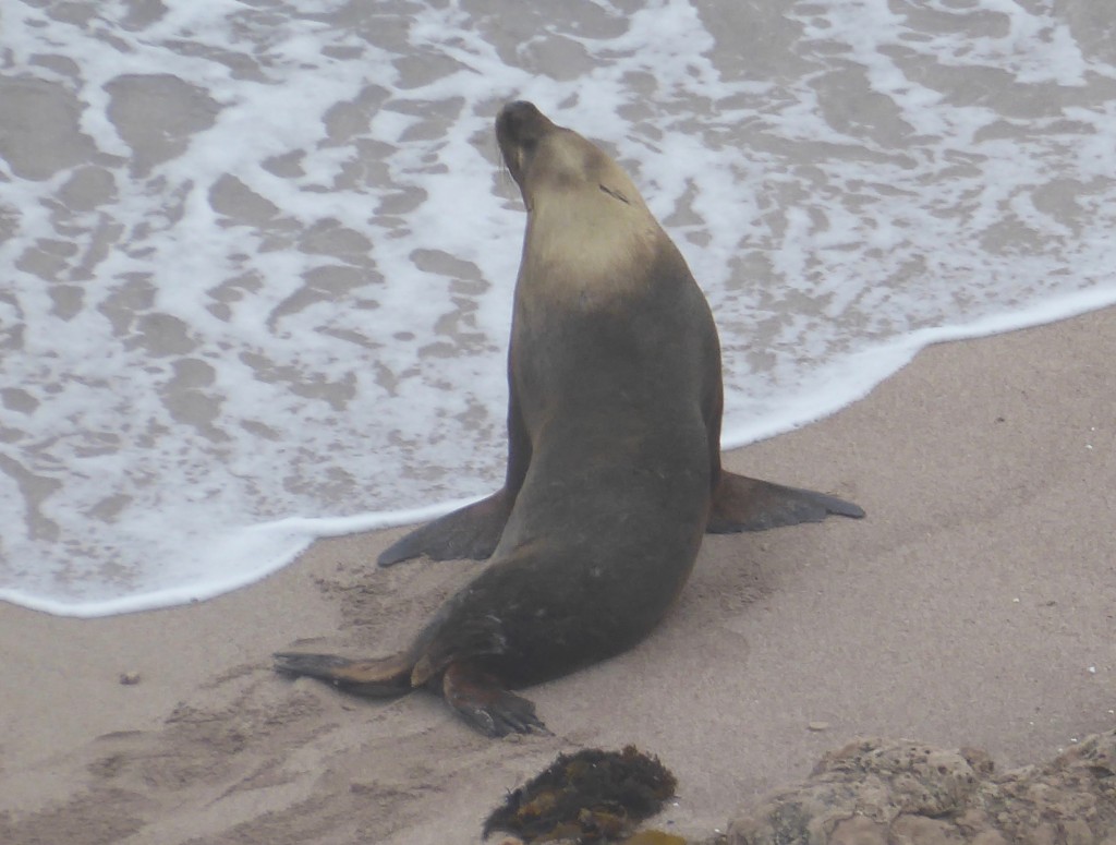
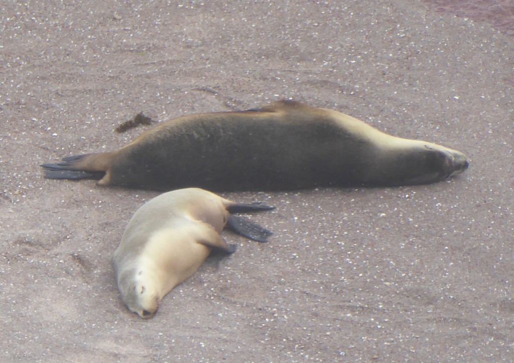
And there were the sea lions… dozens of them. Most were snoozing in the weak sunshine, but there was a lot of challenging and chasing going on between a couple of large males. I took some great videos which I can’t load here unfortunately, but here are some photos to give you an idea…

It was so good being in a place where you could observe them from high above, in such isolation – no fees, no commercial crap, just just a well designed, well constructed lookout, with those fixed binoculars and – amazingly – a weatherproof box holding a spray bottle of lens cleaner and a cloth!

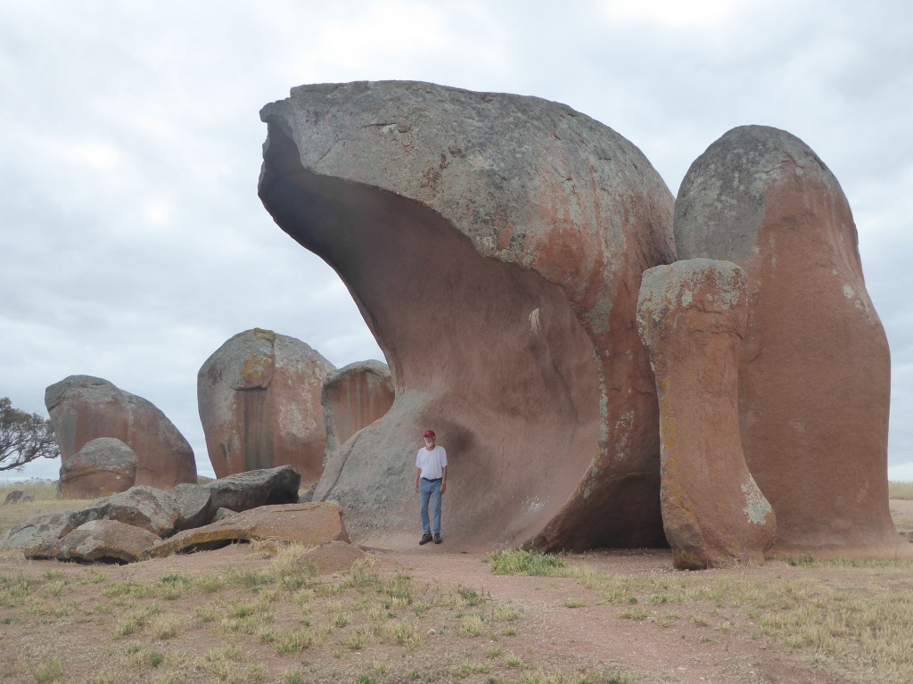
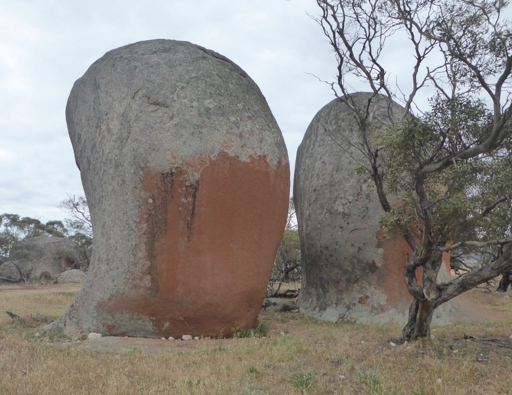
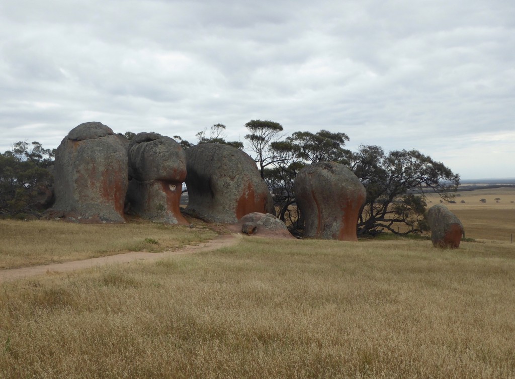
Further on towards Venus Bay we made another detour. How could you go past a small signpost that said “Murphy’s Haystacks” ??  We couldn’t, and we were very glad we didn’t!

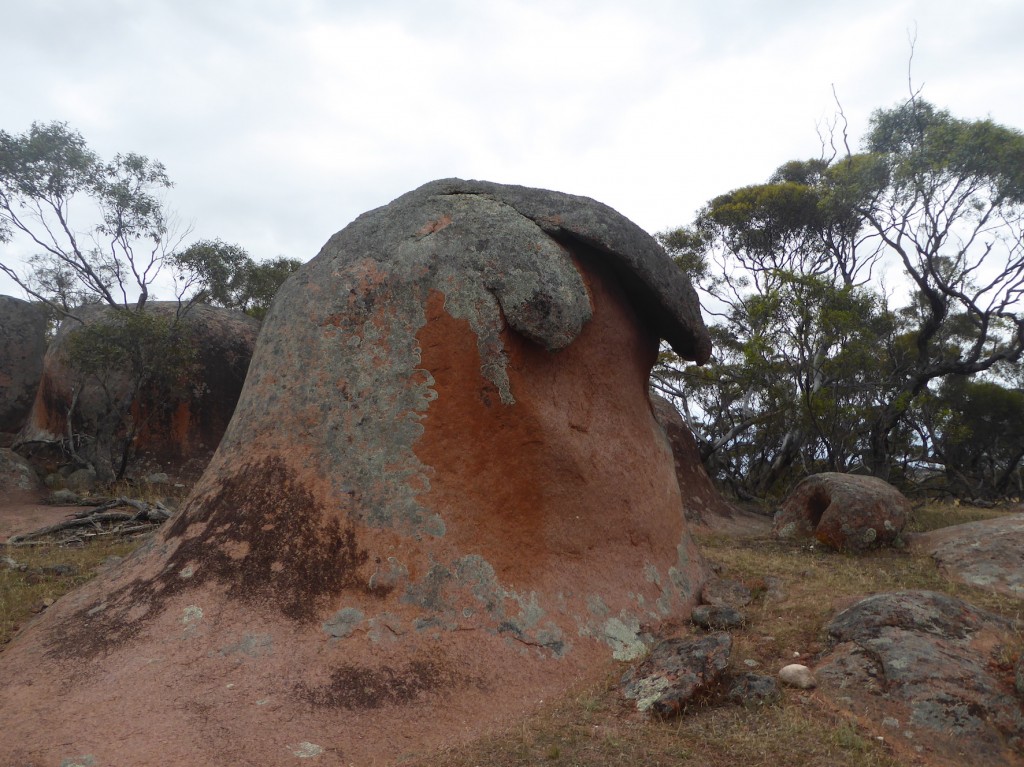
The rocks are a formation called “Inselbergs”. They got their name thanks to a Scottish agricultural expert advising local farmers to harrow their land to grow the best hay. While passing by in a coach he saw the rocks in the distance and informed the passengers that this farmer clearly harrowed his land in order to be able to produce such large and healthy haystacks. Being on Murphy’s farm, the rock formation became known as Murphy’s Haystacks. The current ‘Murphys’ had an honour box for the low visitation fee, but they also sold jars of the most beautiful honey the same way – we bought some too. I’m always reassured by evidence of people’s faith in other people.

This one looks like a breaking wave. It was a magical place – I wonder what the local Aboriginal people used it for in the old days? There must have been great stories about it.

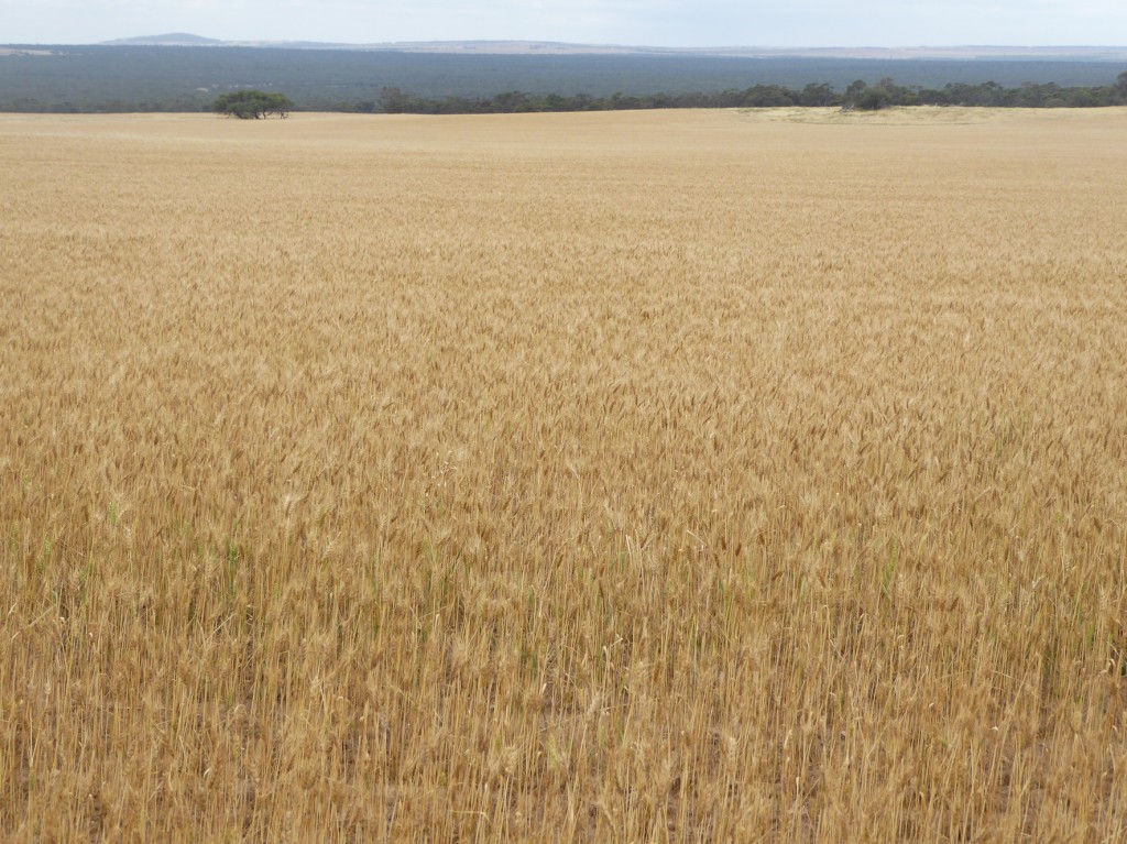
Another sign we were once again closer to the settled parts of the colony, were wheat fields like this one.  Venus Bay was our next stop, a tiny little seaside village with a caravan park, a general store and a petrol pump. We tucked our tent in beside a good thick bush, and parked the Prado close behind, tying the tent to the roof rack for extra support, as we’d been warned the weather gods were likely to get angry that night. The wind howled and screeched around us, but the tent stood firm! Just as well – we were the only tent there!

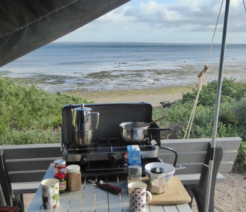
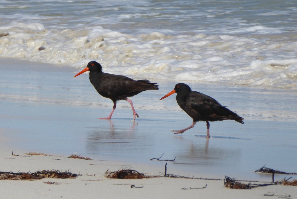
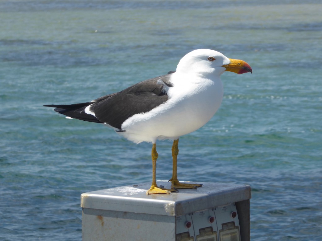
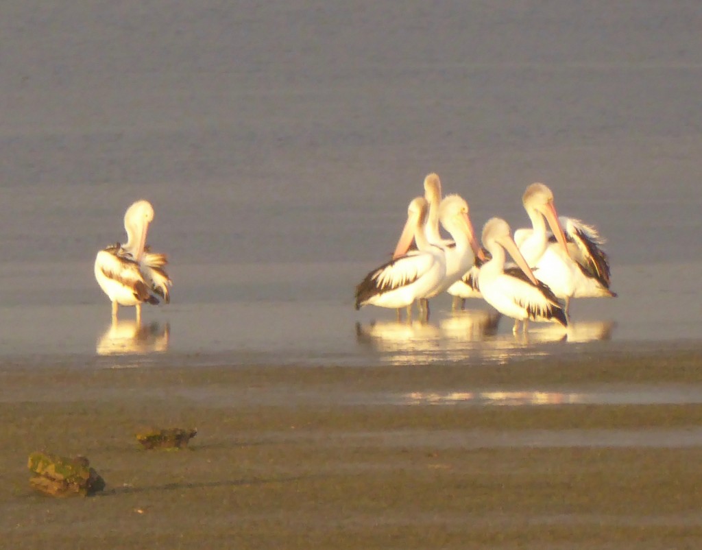
Dawn brought a very peaceful scene, straight over the camp stove… and lots of bird life -  a huddle of pelicans, a sooty oyster catcher, and a lethal-looking Pacific gull. Their beaks look like they have been dipped in blood…

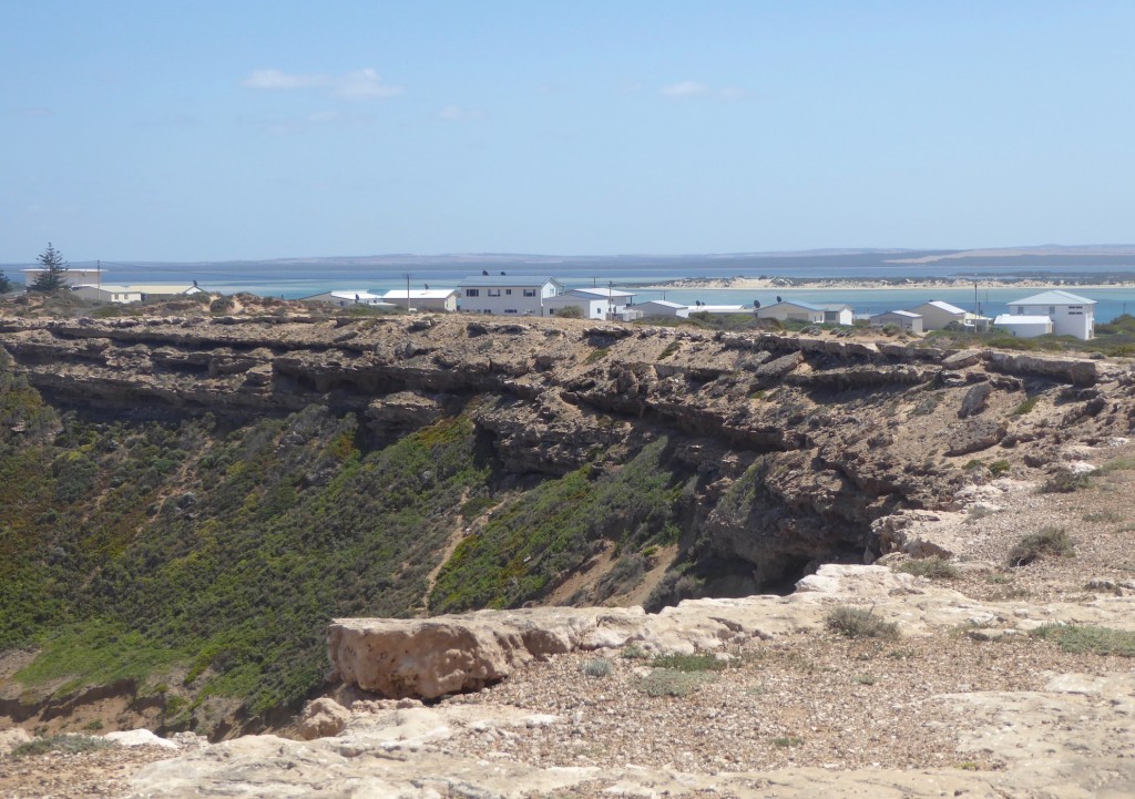
The town is wedged on a narrow strip of land between the ocean and the inner bay. It looks rather precarious from the ocean side:

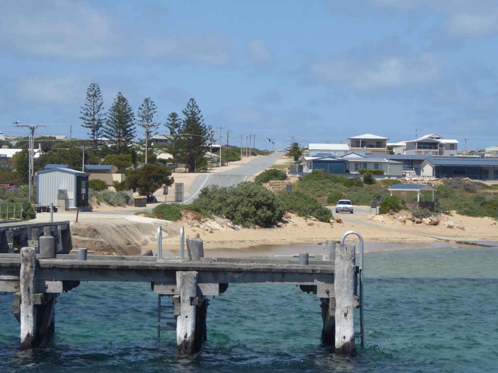
…but very relaxed at this angle (below). There are seven islands within the Bay itself.

Coffin Bay and a fresh oyster breakfast was next. Just a dozen oysters, two forks and a squeeze of fresh lemon,  standing on a boat ramp by the water. Lovely.

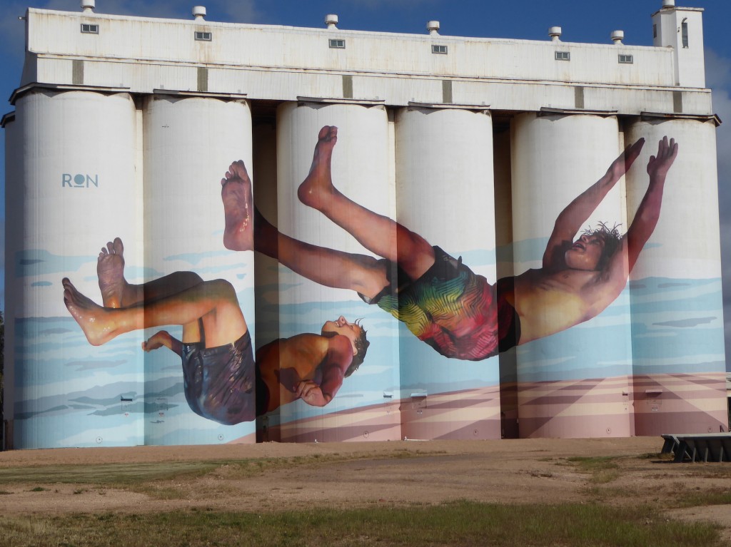
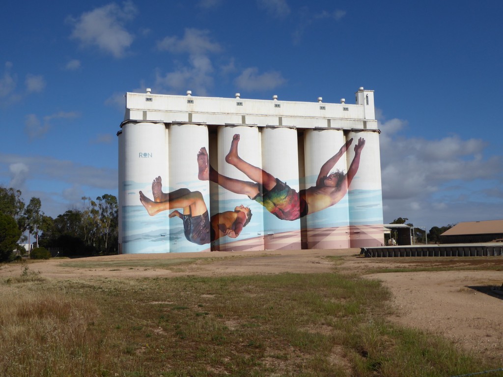
With just a night at Port Lincoln along the way, we headed north, out of the Eyre Peninsula, but not before we took another detour to see this amazing artwork on wheat silos at Tumby Bay, painted by Argentinian muralist Martin Ron.We’ve seen a lot of silo artwork on this trip, but this one takes the prize.


North to Norseman, East to Eucla

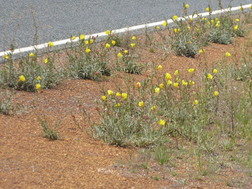
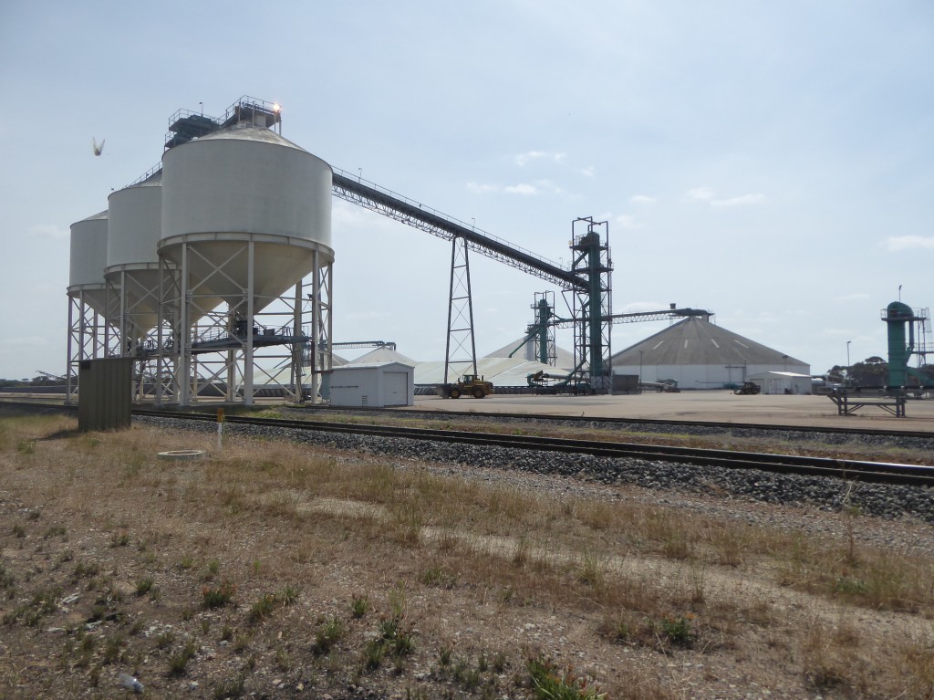
After a full three months meandering along the magnificent WA coast, it was time to turn our backs to the sea, and head inland. North.  We’d looked at the option of the more direct road to Belladonia, driving on some potentially deep sand tracks, but seeing we were travelling on our own, and had no experience of sand driving etc, we decided to stick to the black stuff.  And to tell the truth, after years of bull catching in the NT, the LAST thing I want to be doing for fun, is digging my car out of a bog, sandy or otherwise. Stopping for some last roadside wildflower photos instead, was just fine with me!The less exciting route had its advantages. We headed for NORSEMAN, a route which took us through the quaintly named Grass Patch about 50 km north of Esperance. Grass Patch is tiny. The only shop, the Post Office/general store, was shut. However, there was a memorial on the other side of the road, in front of the giant grain handling depot, where we discovered that Grass Patch was home to one of Australia’s most famous Victoria Cross winners, Tom Starcevich, who was awarded the medal in WW2 for singlehandedly taking out two machine gun posts and capturing a heap of enemy soldiers. He raised his family here, and is buried in Esperance.

NORSEMAN sits at the intersection of the road to Kalgoorlie, and the road across the Nullarbor. Heading east, it’s the last town for 1200 km, and it’s named after a horse. One day around 1894 a man was prospecting in the area and camped for the night. The next morning his horse was lame, and when he inspected its hoof for a stone, he found a gold nugget, and the boom began. There’s a bronze statue to “Norseman” in the main street, and all the street signs have a little horse picture on them. But today Norseman is a city of empty houses. We chatted to a man in the main street, who told us, along with the gold finding story, that it used to have a population of over six thousand, but now only 500 people lived there.

‘You can buy a house here for under 10 grand,” he told us. “It all depends on the goldmine. When the gold price is up, the mine comes back to life, and when it drops, it shuts down and leaves the town to die again.”

One image that stays with me, was the sight of an elderly Australian man, a typical outback bloke wearing battered Akubra, jeans and work boots, having a friendly conversation with a young woman in the main street, advising her about something she was intending to buy. The arresting part was that she was dressed in full black niqab, with only her eyes showing, and they were standing outside the Thai café, which seemed to be the only thriving business in the town. Lovely intersection of cultures.

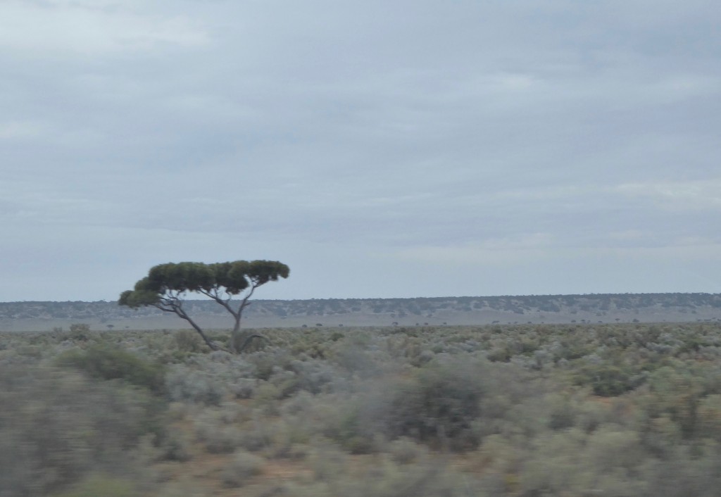
The country changed dramatically once we turned east. The Mallee trees that lined much of the road to Norseman now became much drier, lower scrub, and we passed some unusual roadkill – a dead camel. Happily we didn’t see its friends – they’d take some avoiding at any time.  As the country flattened out the trees took on a kind of weird Dr Suess look.

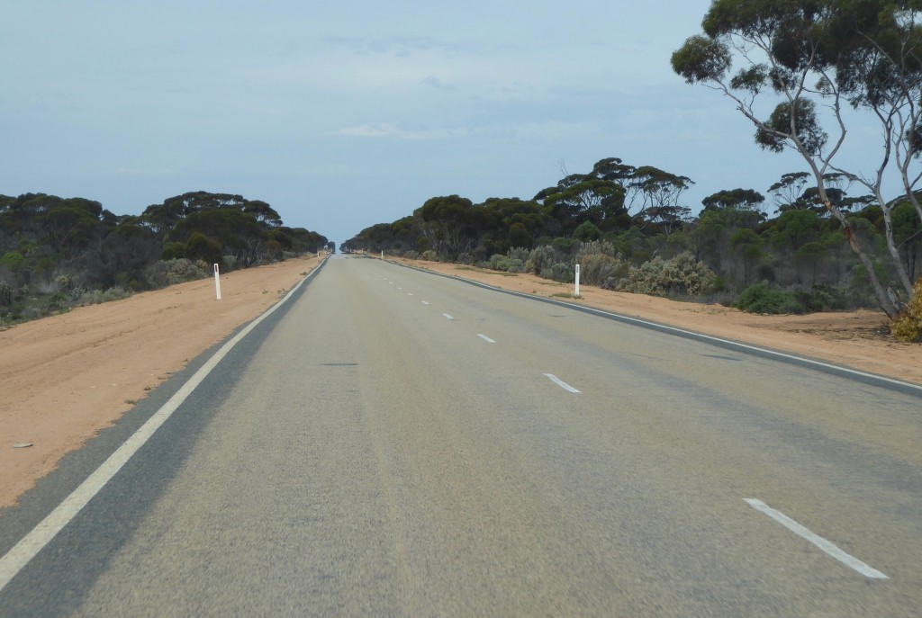
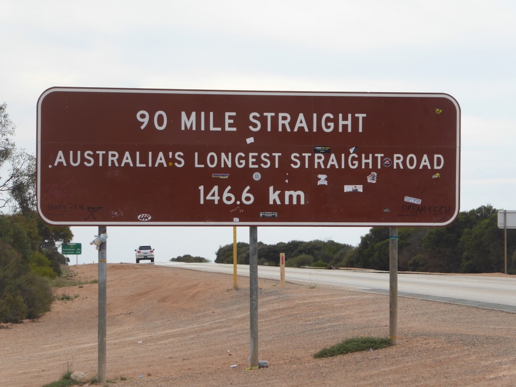
You could almost imagine herds of wildebeest and stalking lions out there.  Between Belladonia and the next spot on the map, is the road with no bends:

You avidly read signs when the country offers little else, and we pulled off the road to see what kind of blowhole you got this far from the sea…

and the explanation:

I was captivated by the notion of vigorously breathing Nullarbor caves!   From here we trekked on to the little roadside stop of Cocklebiddy. Most people who pause here only notice the fact that it is the 10th Hole on the Nullarbor Golf Course. But 50 km south of here is the Eyre Bird Observatory, which has recorded over 230 species of birds, including very rare migratory visitors all the way from Siberia. The Cocklebiddy Caves are nearby, and lay claim to the longest cave in the world – 6km. Most of it is underwater, suitable for experienced cave divers only – we didn’t investigate! But it’s amazing to consider what lies beneath that flat, dry, apparently uninteresting surface.

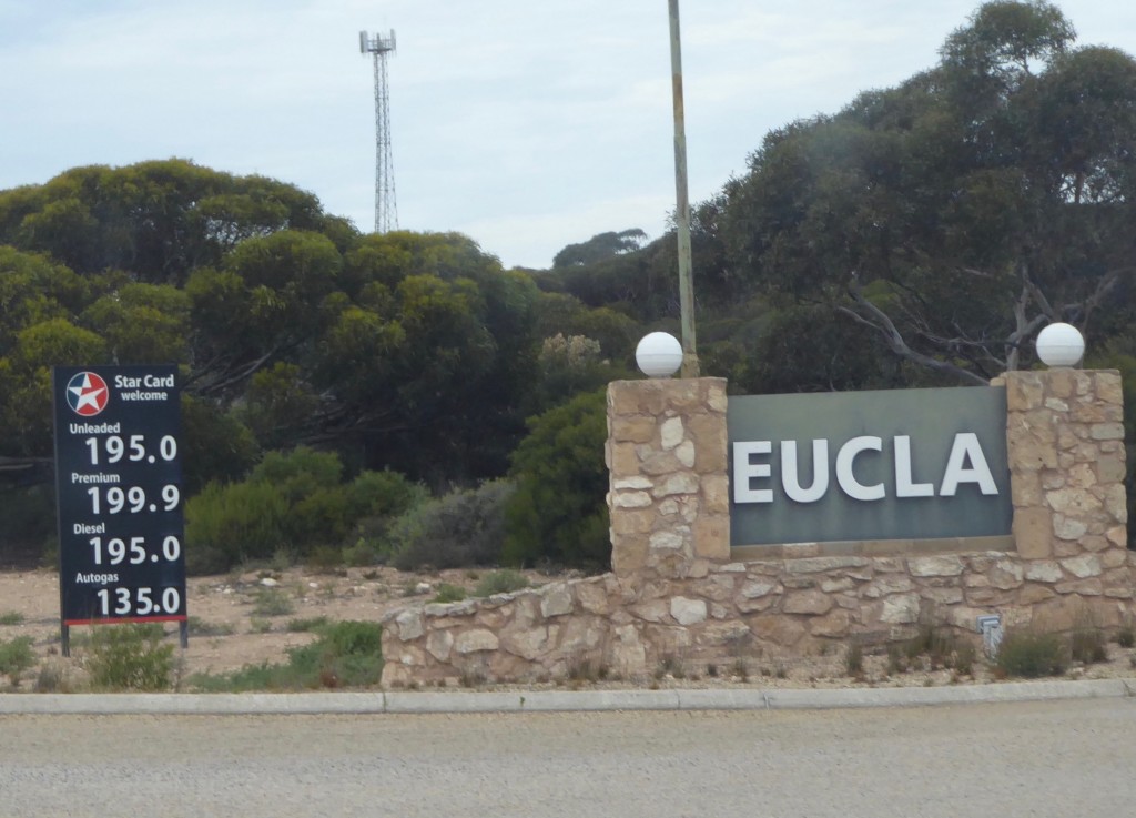
Our first stop next morning was Eucla, about 5km from the WA/SA border. The fuel price was about what you’d expect this far from anywhere.

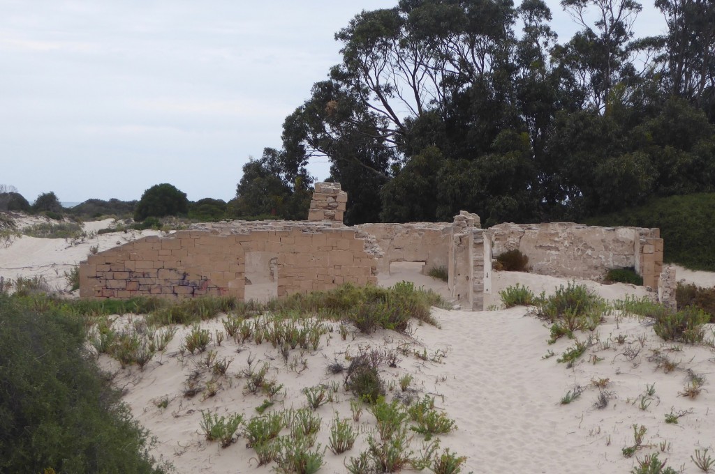
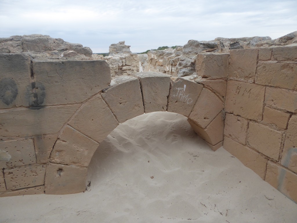
We wanted to find the Old Telegraph Station ruins, and wandered around the not-so-small complex looking for someone to ask. Eucla apparently has a motel, bar, cafe, campground and fuel shop but the only person we could find was a young man anxiously staring at a computer in the office. He spoke very little English. When we asked about a local map, he pointed to the small map of Australia on the office window and smiled hopefully. We conveyed that we were pretty sure we knew which country we were in, and found our own way by following some old signposts and a track towards the coast.

The Telegraph Station was established in 1877, finally linking Western Australia with the rest of the country by Morse code. The little town of Eucla grew up alongside it, and a 100 metre jetty was built close by at the coast. But in the 1890s a rabbit plague wiped out all the vegetation on the dunes, and the town was abandoned, being gradually engulfed by the shifting sand.  In 1927 the telegraph station shut down too, and joined the old town in its fate.

A little while later, paying for fuel and ice cream at Border Village, we asked the young bloke behind the counter what the story was with Eucla.

‘Oh mate, that’s the Zombie Apocalypse!’ he laughed. ‘You never see anyone there!’

Eucla, the town destroyed by rabbits. Or zombies…

He also gave us directions for taking the best photos of the Great Australian Bight. It was a dull day unfortunately, but the shapes are still the same, even if the colour’s not so dramatic as it can be:

Standing on the extreme edge of the continent looking right and left along its underskirts, has to be one of the most awesome things you can do. It’s up there with balancing on the tip of Cape York, or watching the sunrise at Cape Byron. And yes, any beach around the whole coast is just as much the edge of the continent as this, but there is something about those raw ragged cliffs plunging 90 metres into the Southern Ocean that screams EDGE!!! in a way those other coastlines never can.

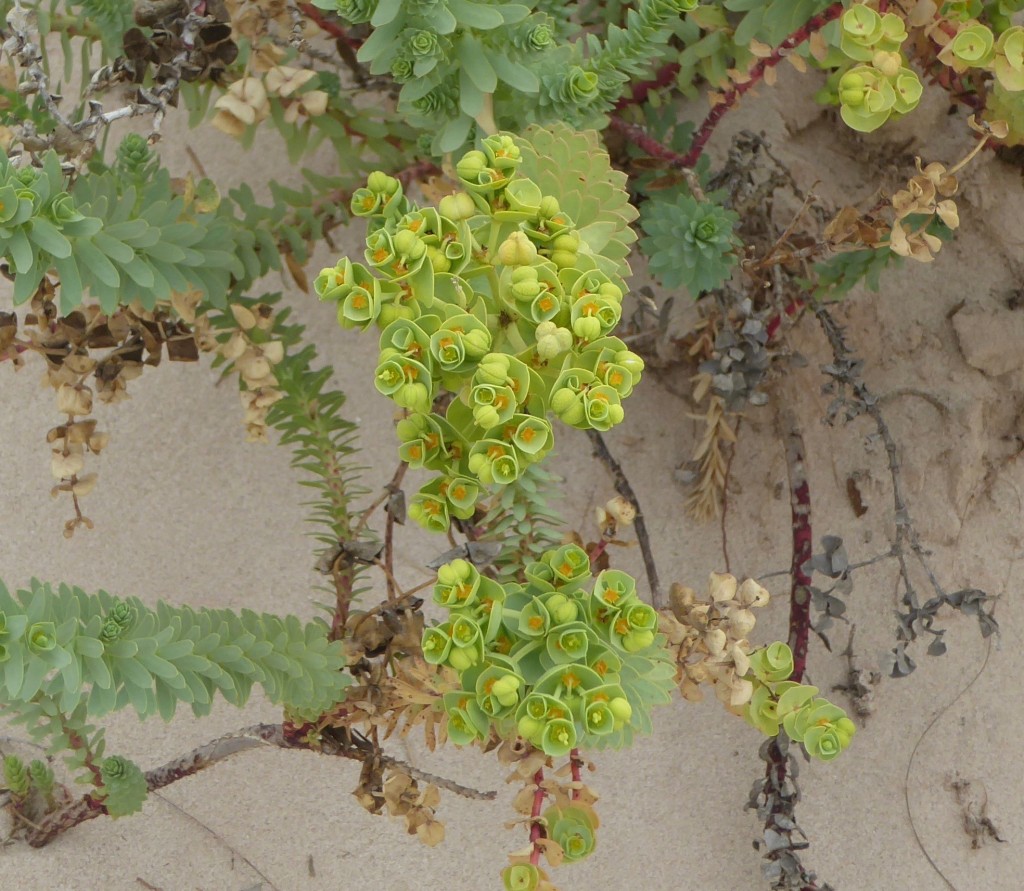
A final bit of greenery from Eucla – a bit the rabbits didn’t get. Unusual green flower-like structures growing amongst the ruins of the Old Telegraph Station.

And a note, before we leave Western Australia completely – remember Skylab? Esperance’s claim to fame – or one of them – is that it issued NASA a fine for littering, after pieces of Skylab fell on the town in 1979. And NASA never paid up!


Hopetoun and the amazing Fitzgerald Biosphere

One of the best aspects of all this travelling has been the chance to get off the main roads and discover small country towns and the people who live in them. Hopetoun is 185 km west of Esperance, and another 50 km off the highway to the south coast. A large nickel mine nearby accounted for the population expansion a few years ago, and for the downturn more recently when it closed again.

However, Hopetoun is well named. The locals we met were enthusiastic about their part of the world, for so many reasons. The main one is the wildflowers – easily the most important resource of the region. Everyone seemed to be growing their own vegetables and sharing their knowledge.  There is also a thriving Men’s Shed and a well patronised community Library/council centre, active writers’ and artists’ groups , and a very lively ladies’ lunch club! We only scratched the surface in the short time we stayed, but it reminded us of the resilience of rural Australia.

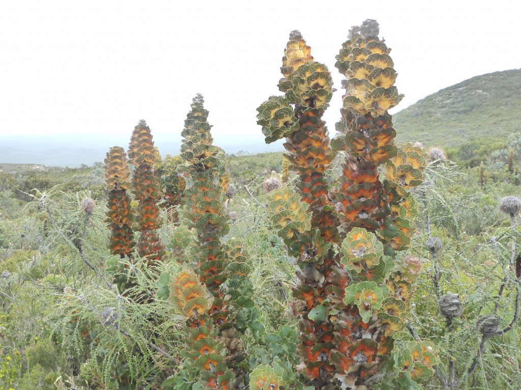
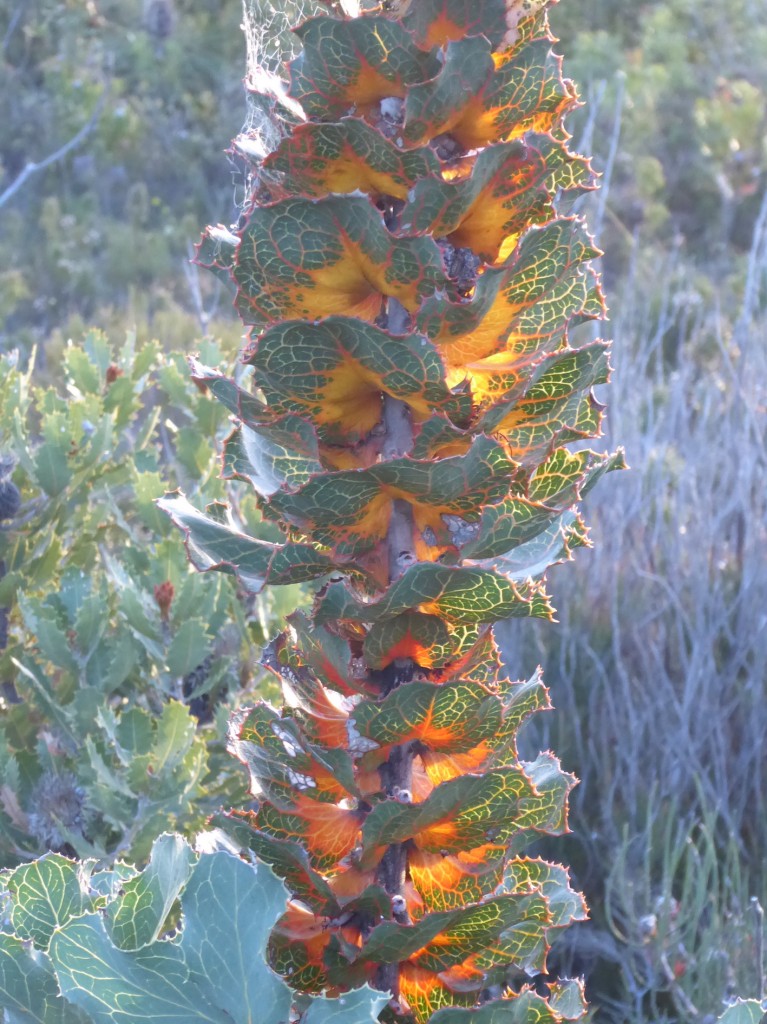
Our main reason for visiting was to catch up with some far flung relatives, but Hopetoun is also the eastern gateway to the Fitzgerald River National Park. My aunt Isabelle and cousin Mark, experienced bush campers and adventurers in their own right, showed us around the area, in particular the spectacular country on its western side. The Fitzgerald Biosphere is world famous. It’s a biodiversity hotspot, containing some 1750 plant species within its 1300 sq km area, about 60 of which are found nowhere else. Such as the strange and compelling Royal Hakea…

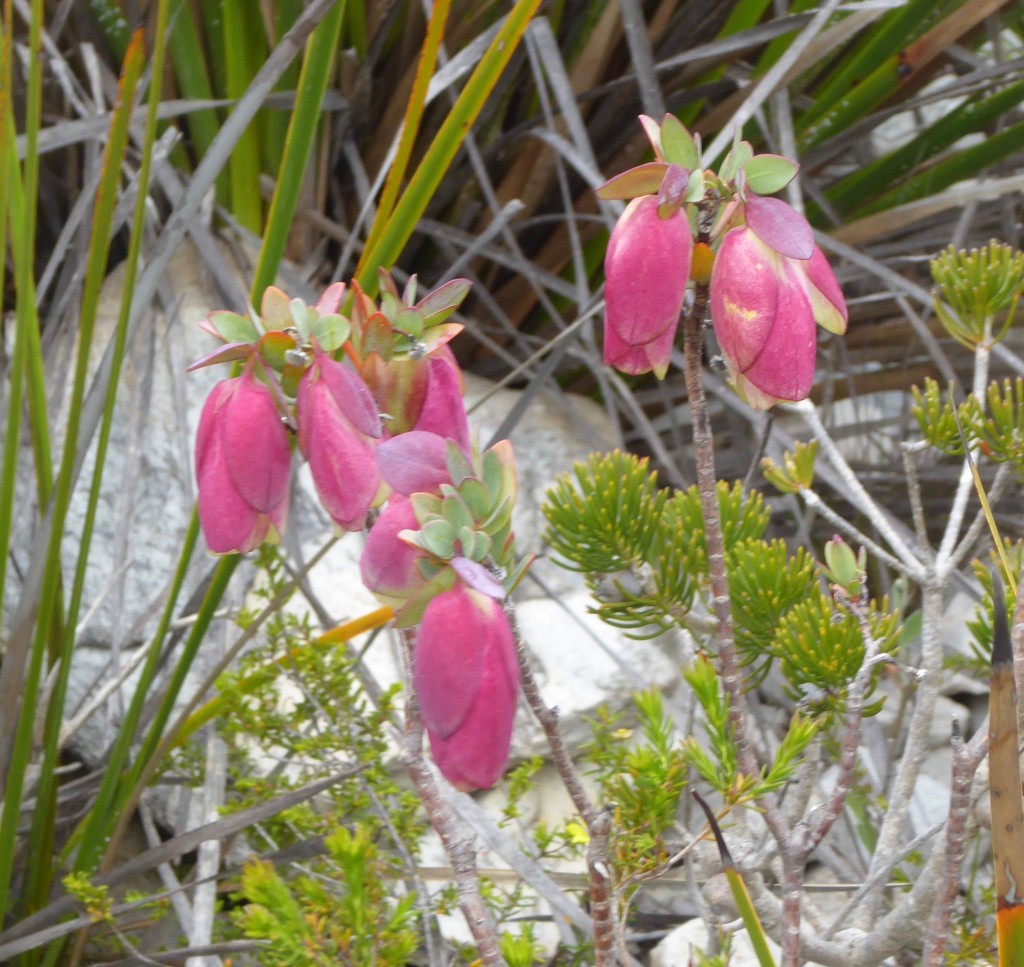
It deserves a closeup! It’s found nowhere else in the world except in this small, very infertile region. The hard scrabble soils meant that plants had to adapt special skills to survive.  Others found only here include the delicate Quaalup Bell:

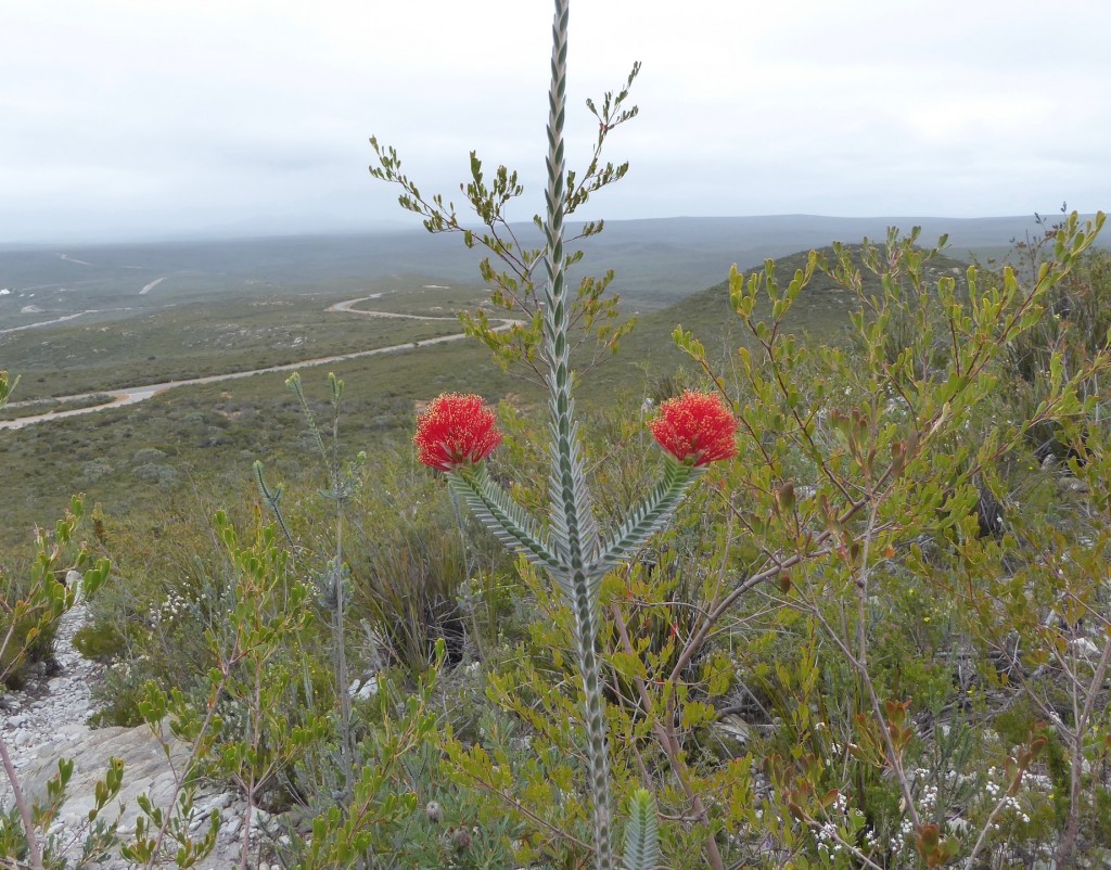
and the spectacular Barren’s Regelia:

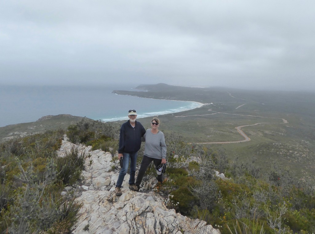
We climbed East Mt Barren, a high exposed hill overlooking the coast. The path was just a rock ridge with fewer plants on it than the rest of the slope, and made a lot more exciting by the strong winds!

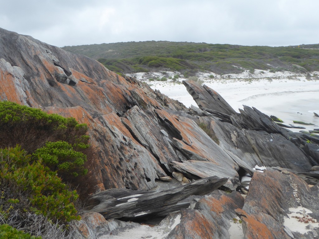
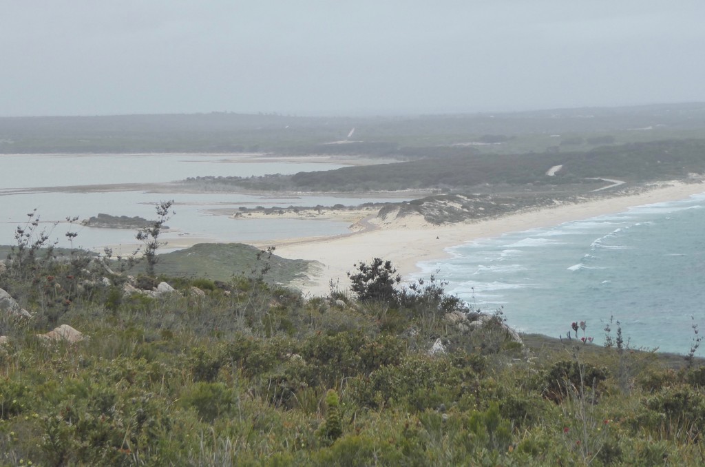
The coast is stunning – plenty of white sand bays, but also these intriguing rocky landscapes

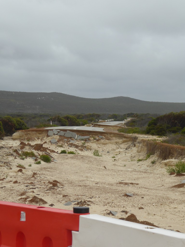
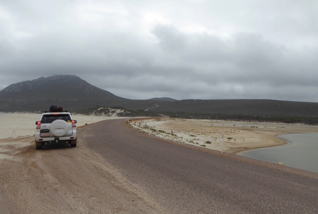
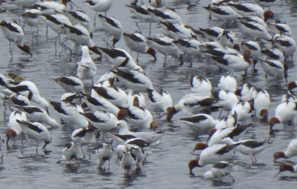
A couple of years ago a violent storm and flood swept away the road into the park, taking a ranger’s car with it. The new road looks a little nervous, but the enclosed wetlands harbour huge populations of birds, such as the red necked avocet and pied stilt we saw feeding here in their thousands

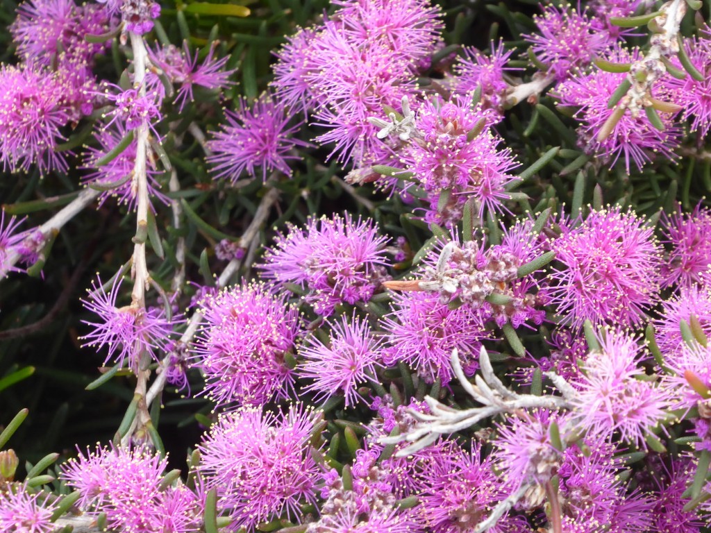
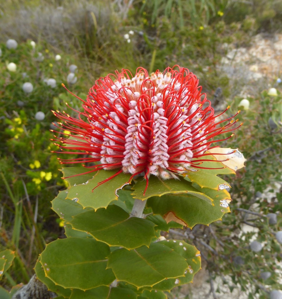
A few more flowers – the lovely purple Unidentified Flowery Objects, and the stunning scarlet banksia.

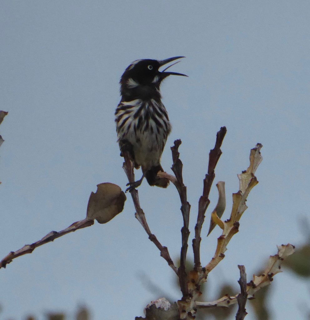
Last of all a very vocal New Holland Honeyeater. A small bird with a big voice!

We could have spent a lot longer here, not least for the great company every night over Isabelle’s great cooking and a few well earned wines. Mark took Lex surf fishing, 4X4ing across steep sand hills to get to the salmon fishing. Next time we’ll try to make it for the crayfish and abalone seasons!


Of white and blue but no pink

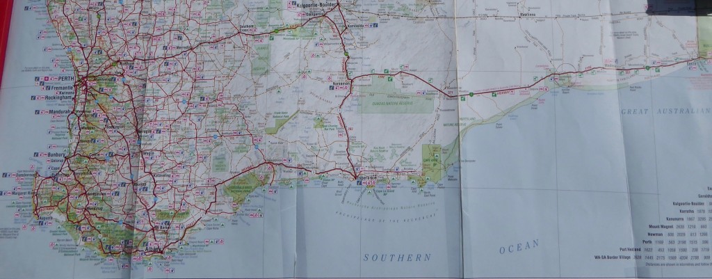
The south coast of Western Australia is a lot longer than you think. I had in my mind that by Albany, we were just a stone’s throw from the border with South Australia. Our much creased and repaired map below might give you some idea, but the distance to the border from Albany is still another 1360 km. I think it’s the scarcity of towns east of Albany that forms that impression. But that journey delivers some beautiful places to stop.

We farewelled Albany after three nights of relentless cold wind. We’d weakened and booked a cabin for our stay but we thoroughly enjoyed the time there (especially since we were snug in a cabin and not a tent!) We headed west, calling into Cheyne Beach but we weren’t enticed to stop so soon. Bremer Bay, 180 km further east, looked a lot more interesting. It’s a tiny village on the mouth of the Bremer River which doesn’t seem to reach the sea all that often, currently just trickling into a lake behind a sandbar.

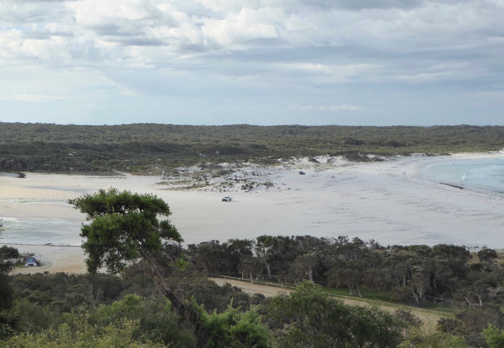
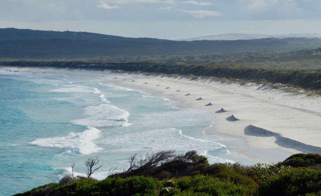
About an hour’s drive off the main highway, Bremer Bay has some 240 residents, and a lot more at other times, judging by the number of holiday homes. A tall wind generator catches your eye as you approach. The town is powered by a hybrid wind and diesel system – big tick! There’s so much wind and sun along this coast it’s crazy not to harness the free energy supply. We set up the tent in a great campground just 200 m from the water, and spent the next couple of days exploring the coast, finding many lovely bays like this one with an unusual wind and tide sculpting. I think it’s called James Bay.

and Native Dog Beach, a popular surf location:

The car needed a service, so we ditched the idea of driving up to Wave Rock, booked the car in and headed for Esperance. It turned out the service centre was around the corner from the best campground, as advised by my aunt in Hopetoun. (As we approach a new town Lex asks “So who are you related to here?”)

Esperance. It’s the last town on the south coast of Western Australia if you’re heading east. And as we discovered, it has some of the most stunningly gorgeous coast anywhere we’ve seen. Maybe the next stunning beach just cancels out the one before? I don’t know. But Esperance truly has some beauties. As my cousin said “If you think Albany’s lovely, wait till you get to Esperance.”

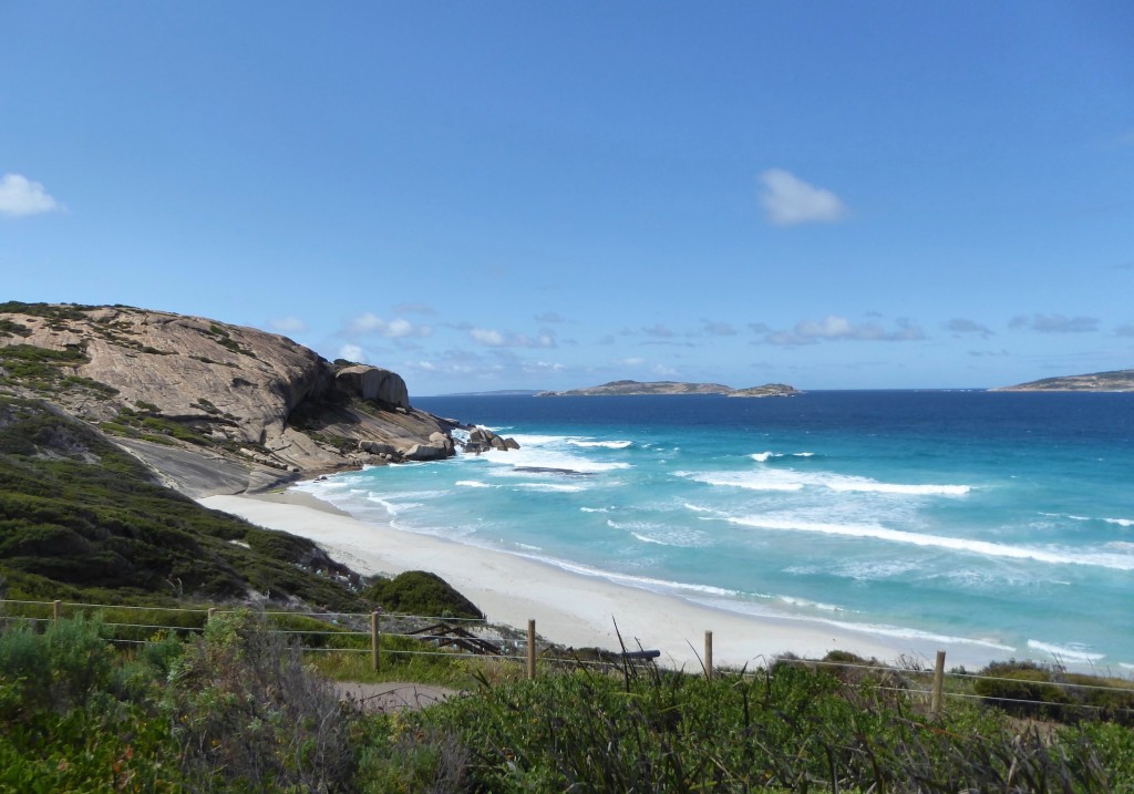
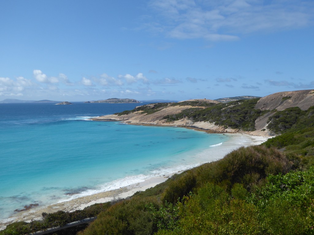
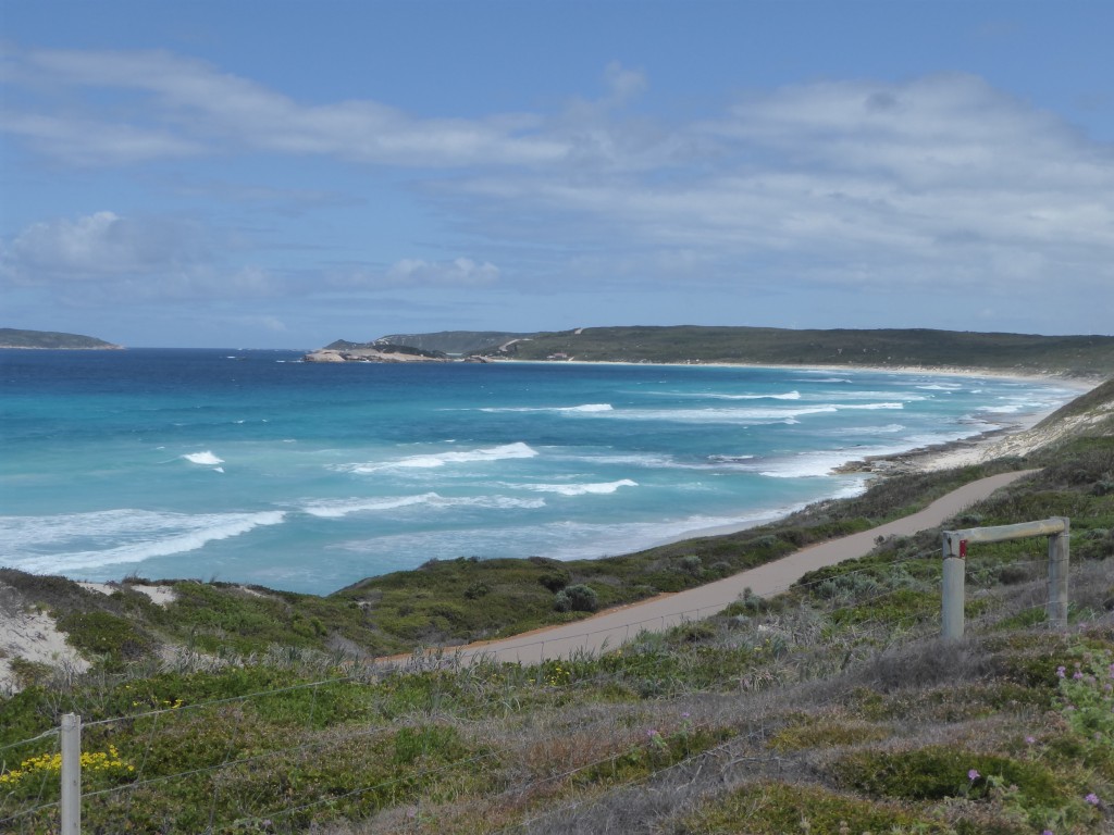
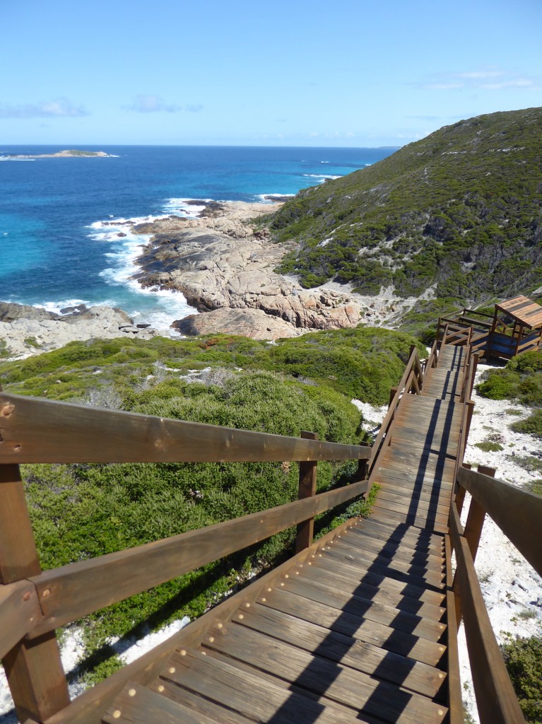
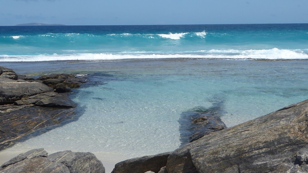
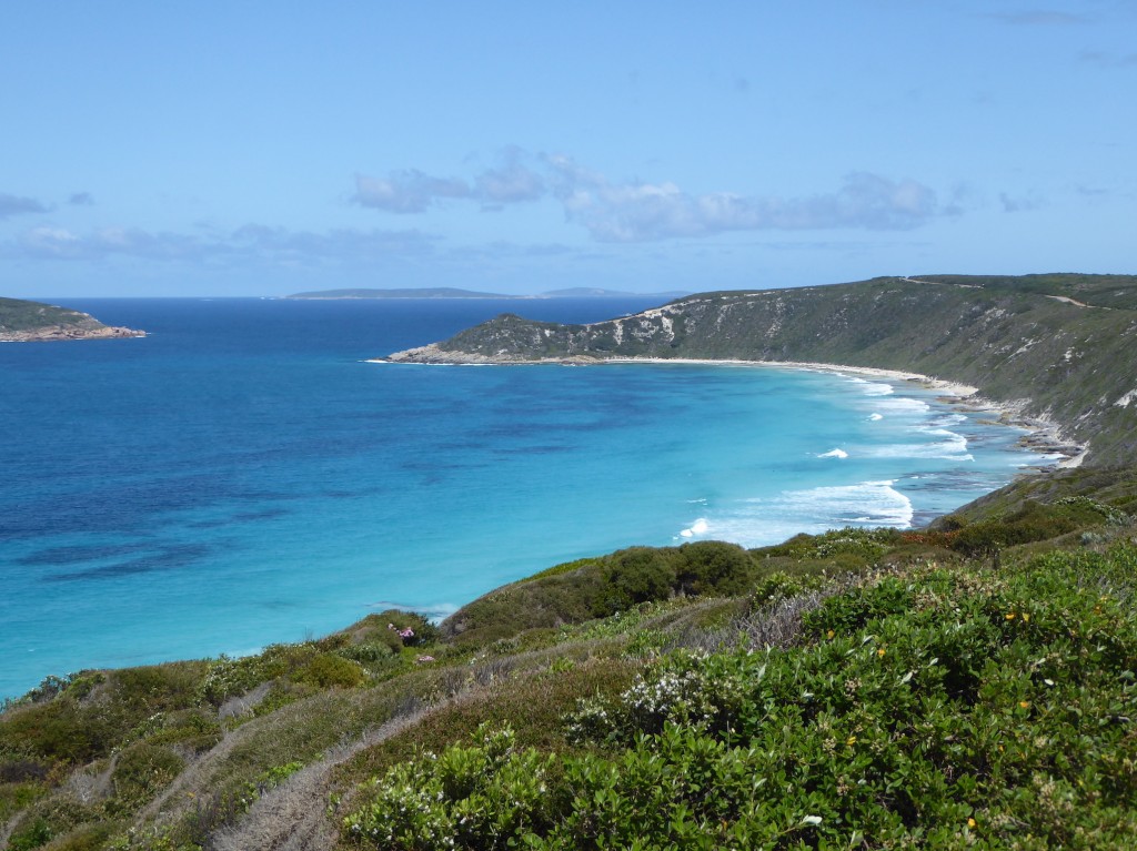
The first thing we noticed was the colour of the water, and then the islands!  The Recherche Archipelago lies just offshore and there are 110 islands out there. We began with the highly recommended Great Ocean Drive, a 40km circular journey. Words can’t do it justice so here is a short photographic essay:

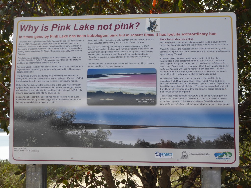
That’s probably quite enough shades of blue for the time being. The drive heads inland to the Pink Lake. Which isn’t pink at the moment.

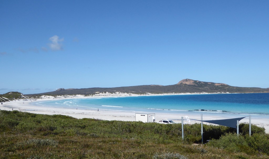
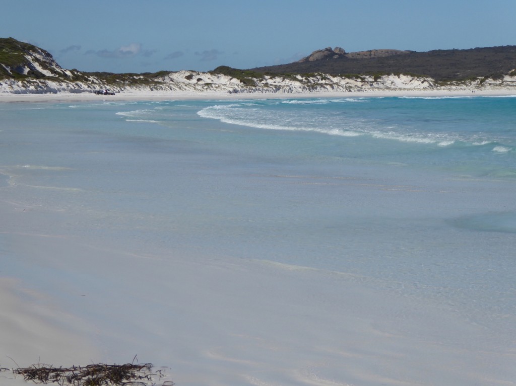
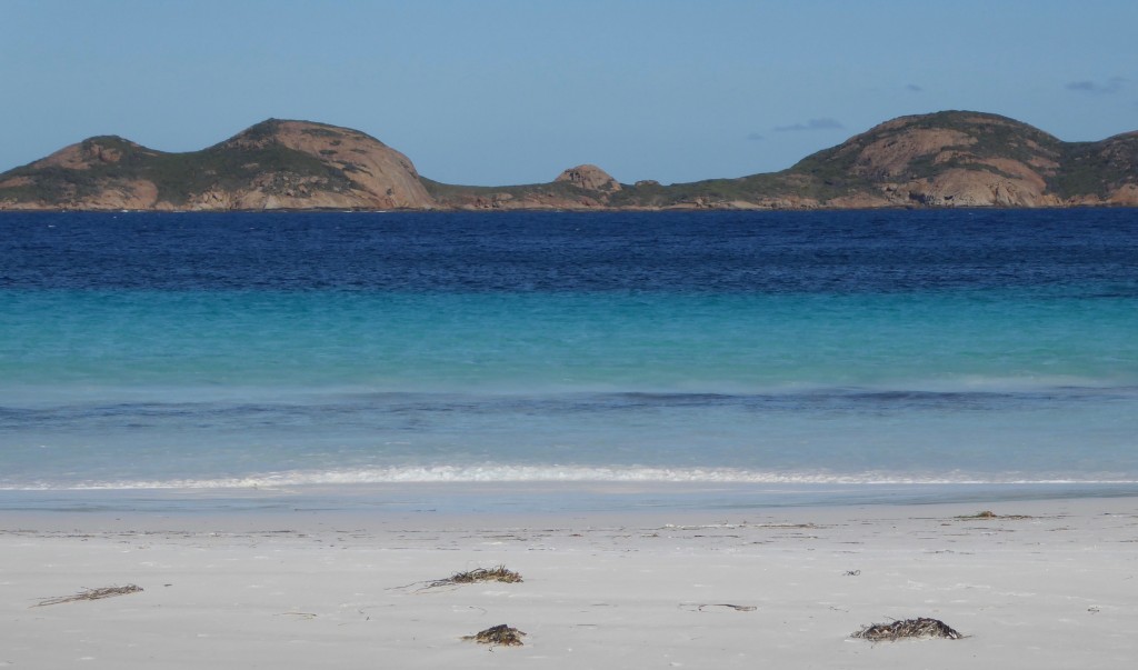
The lake is not as salty as it used to be, so the colour has disappeared. A couple standing near us were very offended. “What a waste of time! Why is it called the Pink Lake if it’s not bloody pink?” and left in high dudgeon. Pity they didn’t bother to read the sign.  The most famous beach however, which doesn’t offend anyone, is Lucky Bay, to the east of Esperance, inside the Cape Le Grand National Park. In 2017 it was scientifically tested to have “the whitest sand in Australia, possibly the world…”  It is very white. And squeaky. Sorry, but this means another blue photo… The little trailer in the front of the first shot, is a pop-up coffee wagon. So you can walk on the whitest, squeakiest beach, and drink a very good coffee, 70 km from town. There’s a very popular campground here which doesn’t take bookings but is full by 10am every day. You can see cars in the distance – even in this iconic spot. Maybe it’s our Victorian genes, but we just cannot bring ourselves to drive onto a beach!

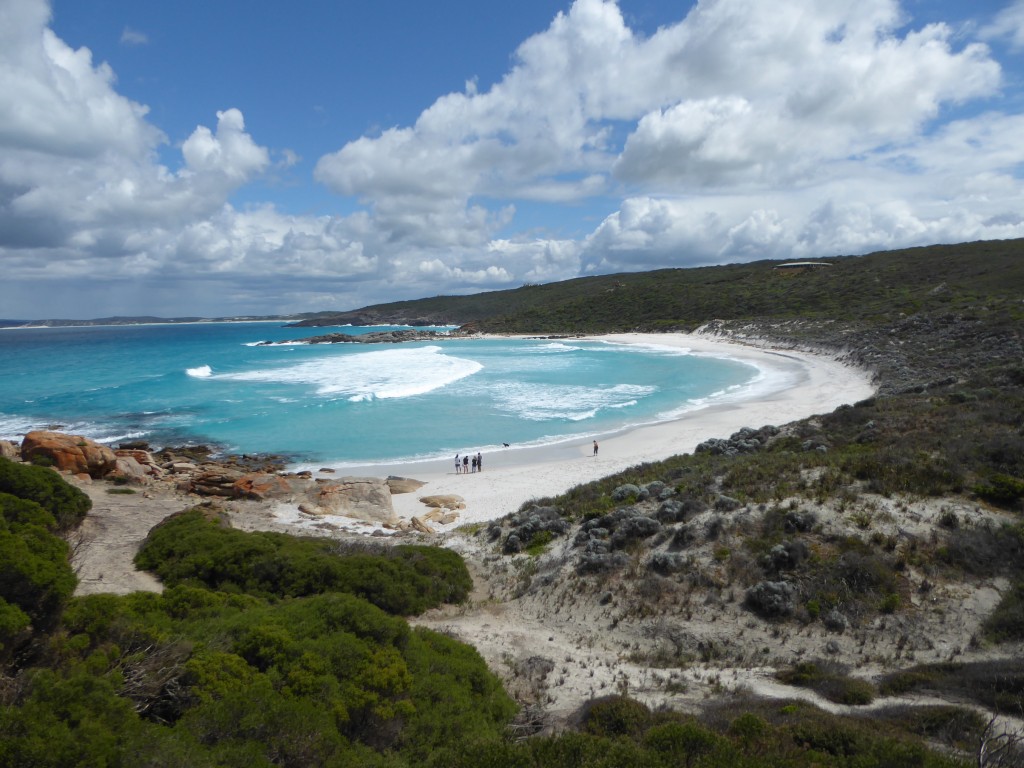
This last photo is typical of southern West Australian beaches. The sand and the many shades of turquoise water could be in the tropics anywhere, but the hills behind – or in this case the islands in front – are dry and stony and stark. It is such a contrast that it delivers a raw beauty all its own. Gently waving palm trees would be gilding the lily.

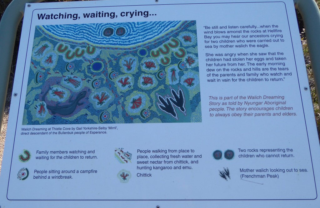
Close by Lucky Bay are the Whistling Rocks, legendary rocks from the Bullenbuk people of Esperance. When the wind blows, and eerie whistling, wailing sound can be heard.

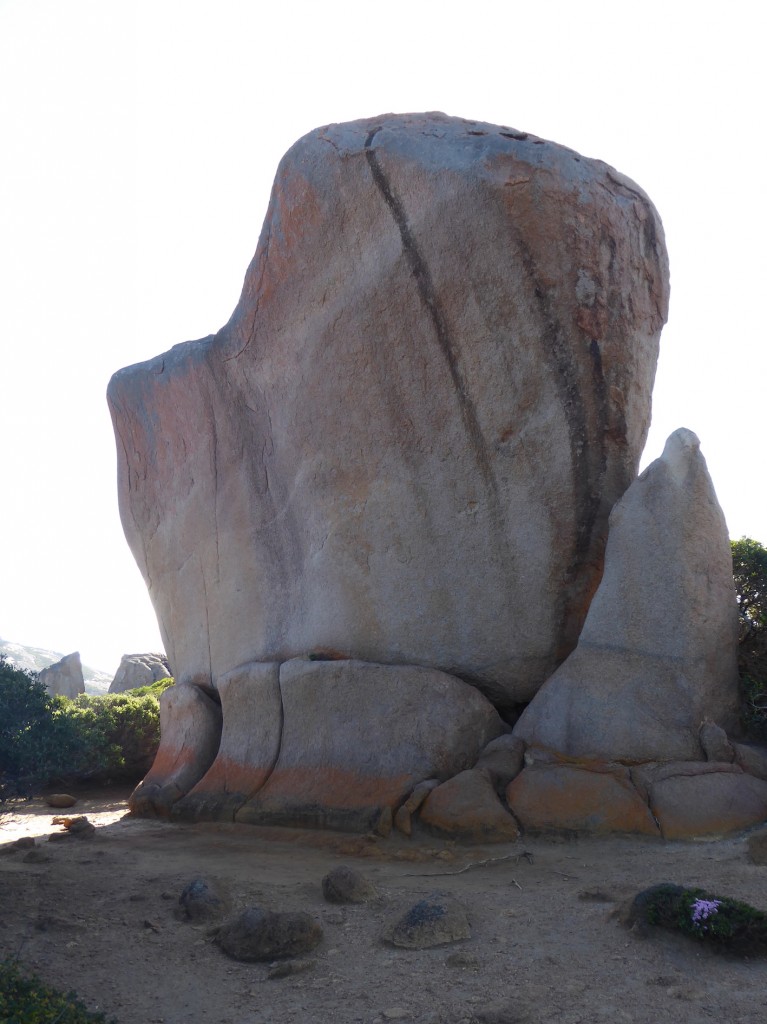
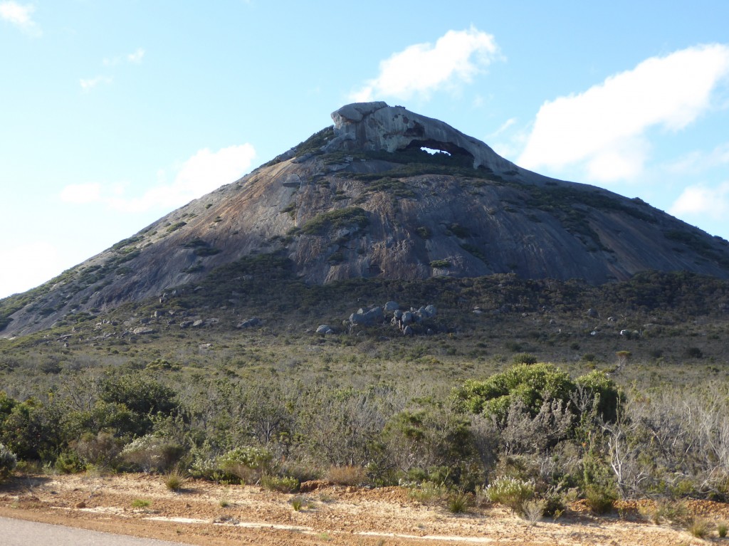
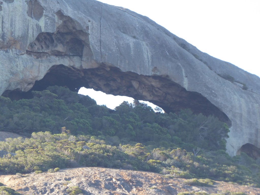
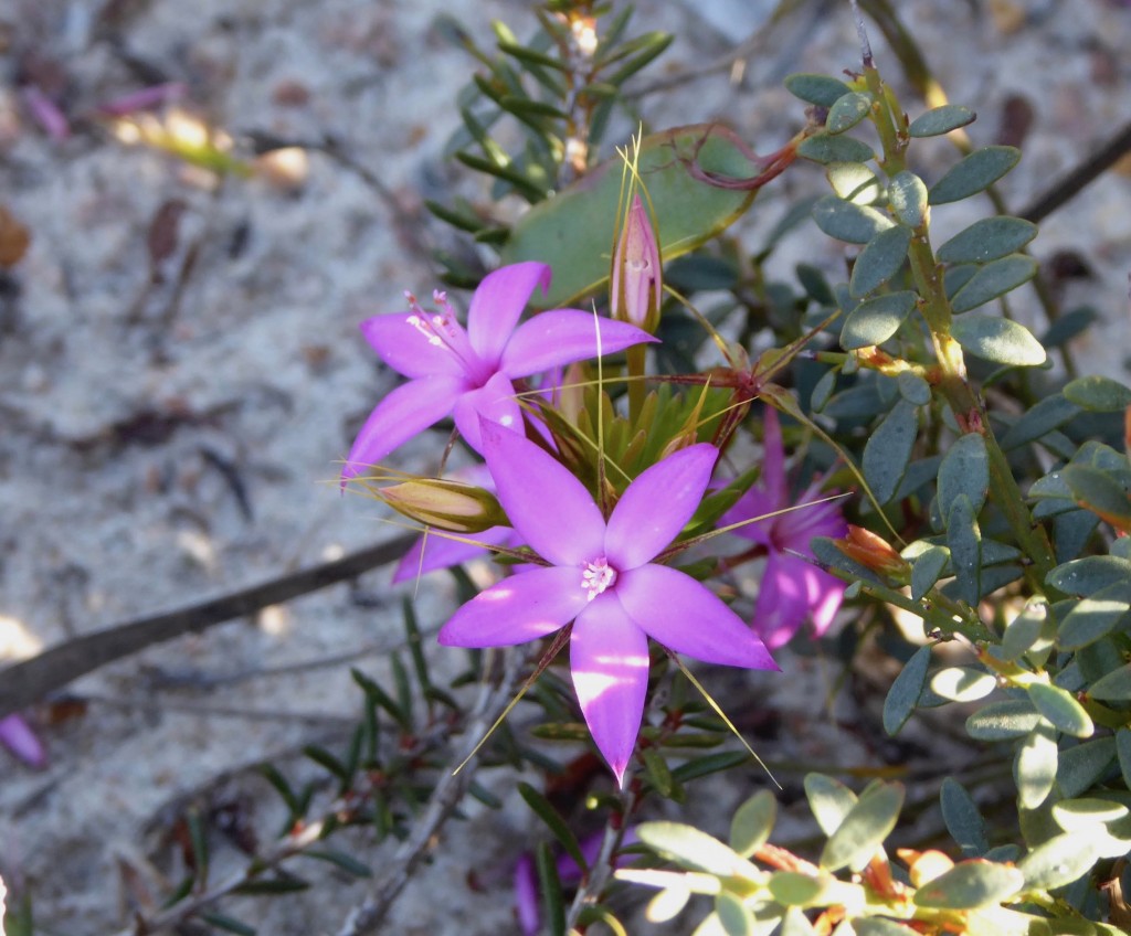
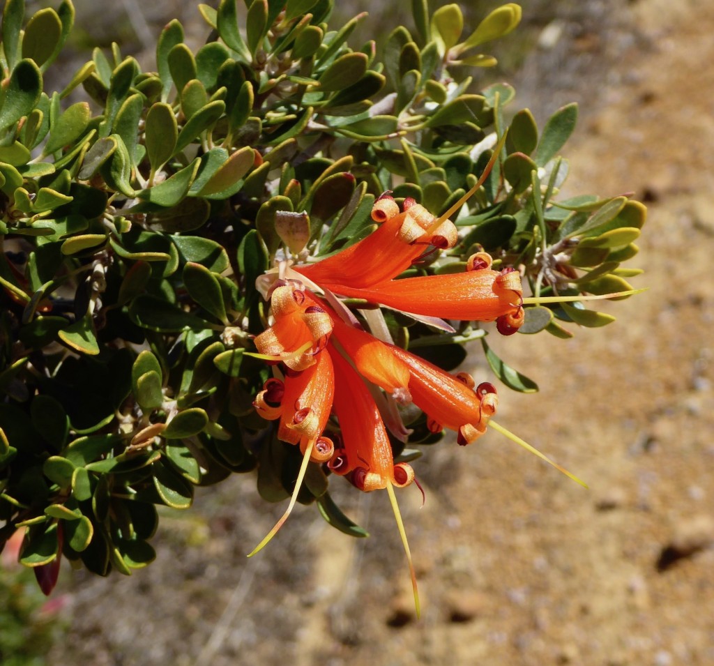
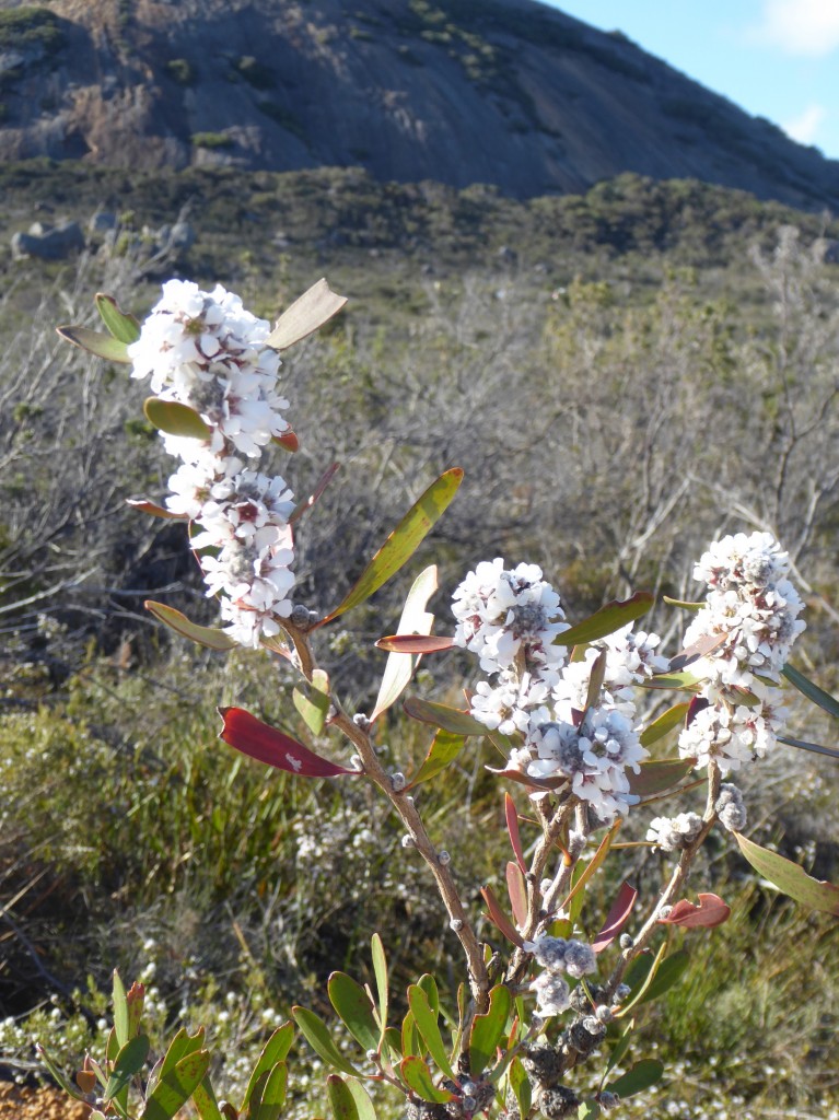
Frenchman’s Cap is another fascinating place, poking up above the low trees and dry plans along the coast here. That Frenchman must have lost a few caps – there’s one in Tasmania too, from memory. The closeup of the eroded cap shows a place that must have provided shelter, or an auspicious and powerful meeting place perhaps.And in case anyone was wondering – we haven’t run out of flowers! Trying to restrain myself, so here’s just three… lovely dark pink Calytrix similis, bright orange Lambertia inertmis or Chittick, and beneath the Frenchman’s Cap, an interesting small white tree with leaves like a Melaleuca.


Beautiful, historic Albany

It was freezing when we arrived in Albany, and the wind was blowing the spots off a dog so we left the tent on top of the car and booked into a little cabin instead. (the sunshine in the photos above is very misleading! It was SO cold)

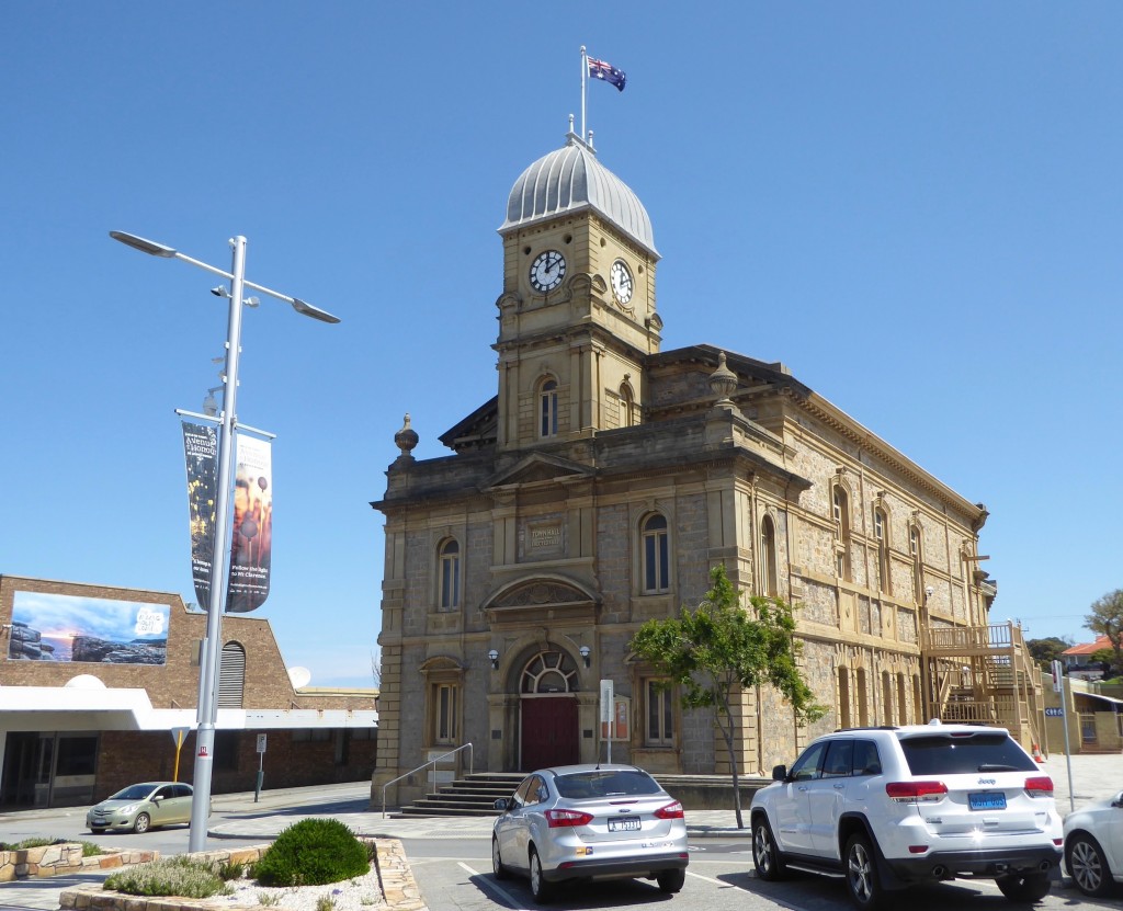
Albany is a very old town, in fact it’s the oldest colonial settlement in Western Australia. It began life as a military garrison in 1826, two years before Perth and Fremantle began, and was established to prevent the French planting any flags along the uninhabited coast. To put that in perspective, Melbourne started in 1836, and the site of Adelaide wasn’t surveyed until 1837.  It’s now a major town on the south coast with a population of about 34,000.

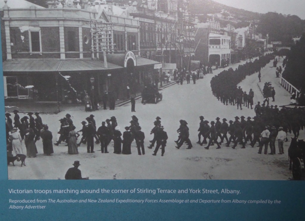
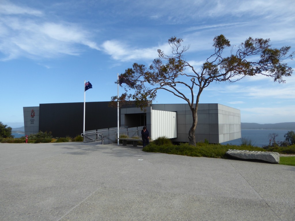
Albany was the last sight of Australia for more than 40,000 soldiers and nurses who boarded ships here from November 1914 to sail to the other side of the world. The National ANZAC Centre opened on Mt Clarence in 2014 to commemorate 100 years since the beginning of WW1, and will mark the centenary of the end of the war on 11 November this year. It’s a beautiful building, and the interactive displays are wonderful. When you arrive you’re given a set of wireless headphones, and a card with the name and photo of someone who took part, such as a soldier, nurse, chaplain etc – who might be Australian, German or Turkish. You follow their experiences in the war through various displays where you listen to an actor reading from their letters home. It’s a very engaging – and moving – way to learn about the people who fought and nursed and died in WW1.  The very first ANZAC day celebration happened at Albany in 1923.

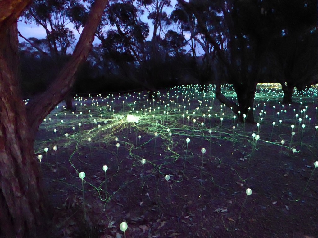
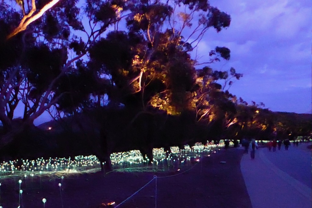
The National ANZAC Centre (above) is a bit like the Tardis – looks small on the outside, but holds much more than you think. We’d heard a lot about the ‘Field of Light’ installation at the Anzac memorial on Mt Clarence. I have to confess to being somewhat underwhelmed by it. There are 16,000 light bulbs planted along both sides of the road leading up to the memorial. I’m not sure what the significance of 16,000 was (and no one could tell me), and it was difficult to see any connection to the memorial at all. It’s certainly pretty at night, changing colour from white to gold, red and green, but that’s not its point, surely? I found walking along the road in the daylight, reading the names of soldiers (many of them so very young) on plaques beneath the trees far more moving than 16,000 lights.

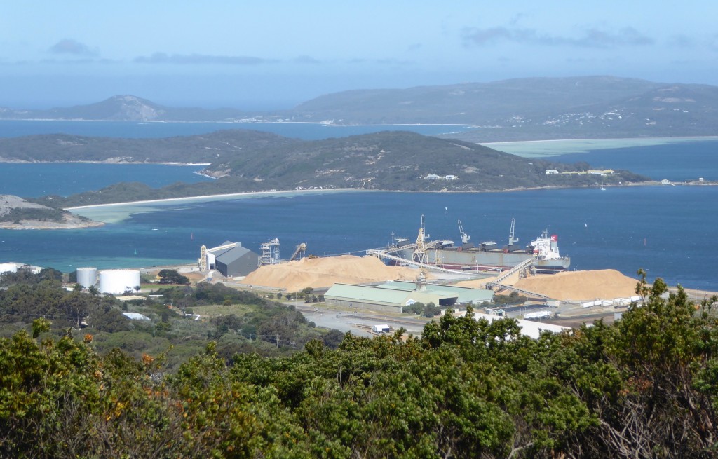
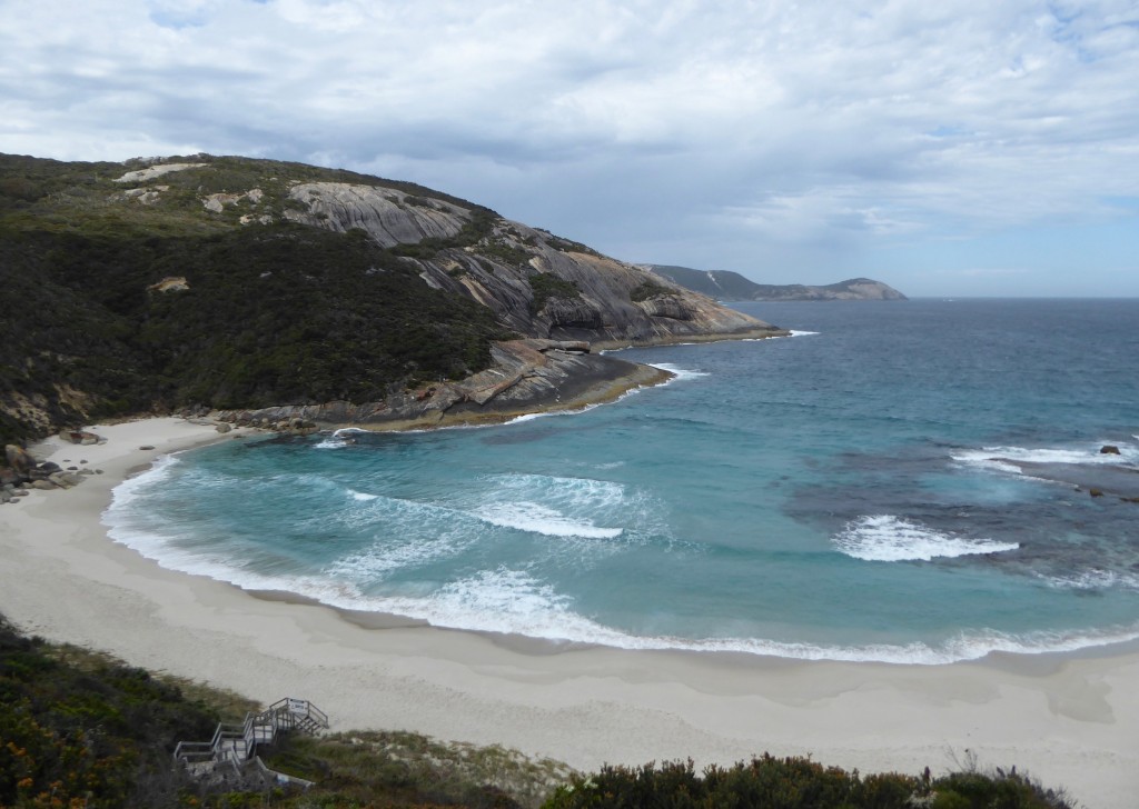
Whaling was a major industry from the early days and it’s hard to believe that it only closed down in 1978. The industrial port exports grain and wood chips, and tourism is an economic mainstay. But Albany’s real resource is its magnificent coast! We were stunned by the sheer beauty of it, in both directions from the city. The harbour is enormous – easy to imagine hundreds of ships at anchor, loaded with soldiers heading for training in Egypt.

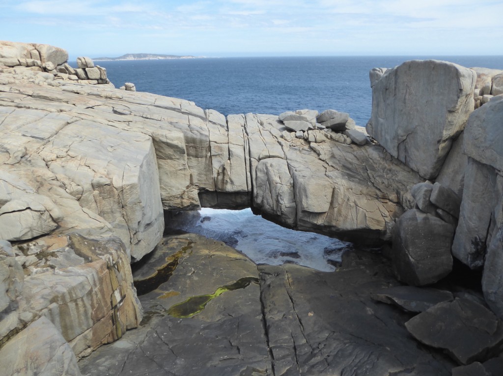
Above is an amazing feature – Natural Bridge, near the whaling station.Western Australia makes good use of another natural resource – wind! We’ve seen lots of solar farms as well, and more being constructed.

And its biggest natural resource is its magnificent, stunning, breathtaking coastline. I think I may have said this once of twice before on this trip. It’s hard to understand how WA is experiencing a downturn in tourism with such awe inspiring landscapes and natural beauty. We’ve spent three months here, and feel like we’ve only scratched the surface. We’ve also been conducting an intensive coffee survey, and are happy to report that Western Australians know how to make a good coffee. Another draw card!


Denmark is not a country?

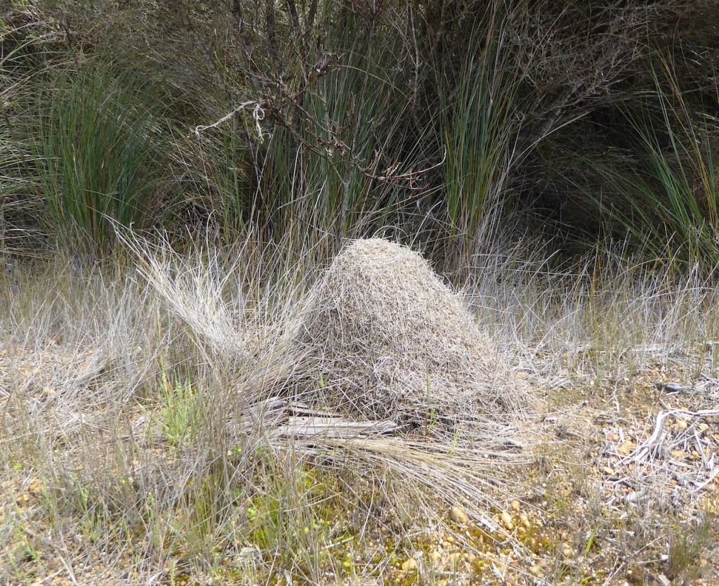
The journey eastwards from Walpole took us out of the forests, through some of the greenest grazing country anywhere, and on a recommended detour to Peaceful Bay. We can confirm that it does indeed have the BEST fish and chips in the universe. (Thanks Debbie and Steve!)  A pity it’s so far away.  Peaceful Bay also had lots of stick ant nests – impressive and, when the ants start pouring out of them towards you, formidable mounds made of earth and pieces of grass. We saw lots of them along the sides of the roads, some about two foot high. The ants are about 2 cm long. We didn’t try to find out what the sting was like.

I wonder why early settlers would name a town after a whole country? My poor old Dad has enough trouble keeping up with our travels without being confused by trying to put Denmark into the mix. We arrived there under the threat of heavy rain and wind so we chickened out and booked into a little cabin upstream of the town. (Plus it was my birthday, so…)The chance of an indoor bathroom, meaning you don’t have to get dressed in heavy weather gear to go to the loo in the middle of the night, is very alluring. The old fireplace inside sealed the deal.

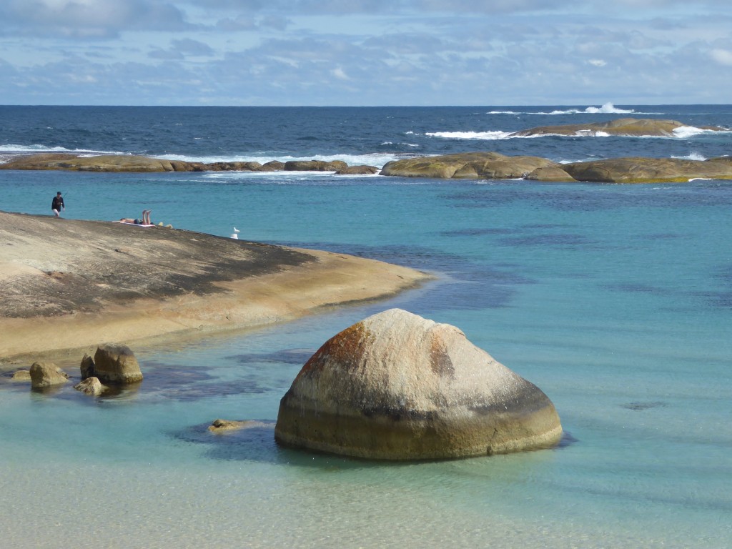
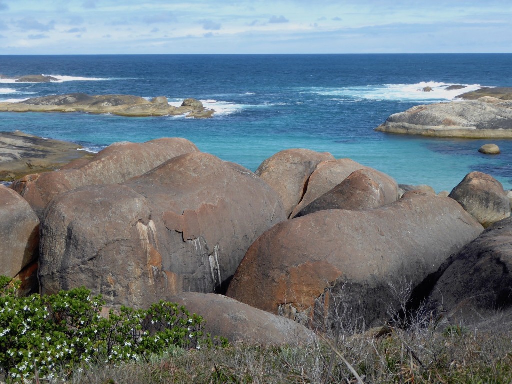
We spent the next day driving around the area, checking out a couple of wineries (the Harewood Estate was a beauty), and things like chocolate factories and Meaderies. I think the chocolate factory is a silly affectation. You roll up expecting to be able to taste what they sell, but all they do is dole out a couple of chocolate buttons used in manufacturing, and speak about the chocolate in hushed tones, as if too much volume would cause a meltdown. Expensive and definitely not worth it. Having said that, there was a delightful garden with a history trail of cacao and chocolate which was very interesting.   Then we came across the Meadery. We tried several different versions of honey mead. All I can say is, the fermentation of alcohol has come a long way since the Middle Ages, and thank goodness for that. We didn’t buy any mead, but we did leave with some of their wonderful Karri honey. The coastline along here is stunning – particularly Green Pool and Elephant Rocks, the latter clearly deserving of the name.

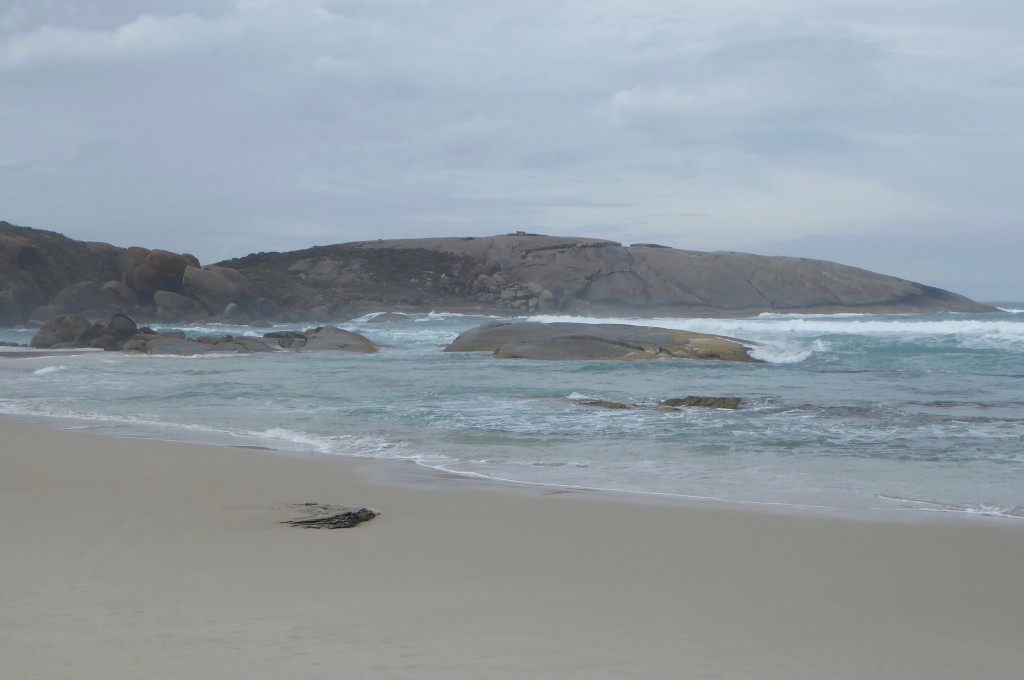
The coastline along the William Bay National Park is just breathtaking… We never knew it was here.

We left the main highway and followed the Lower Denmark Road, driving through more farming country, mostly cattle and sheep. West Cape Howe cab merlot is a favourite wine of ours so we just had to visit the place that gave the vineyard its name. It’s a small National Park halfway between Denmark and Albany, and boasts the most southerly point of Western Australia, at Torbay Head.

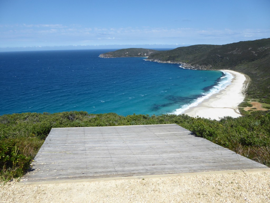
And the paragliders must love it – there were two of these ramps high above the beach.

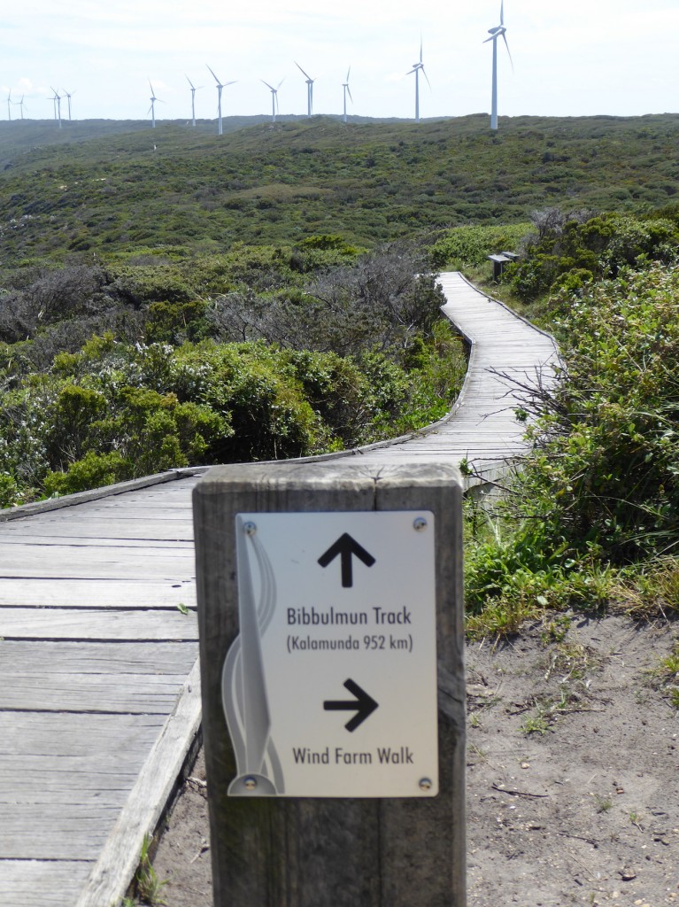
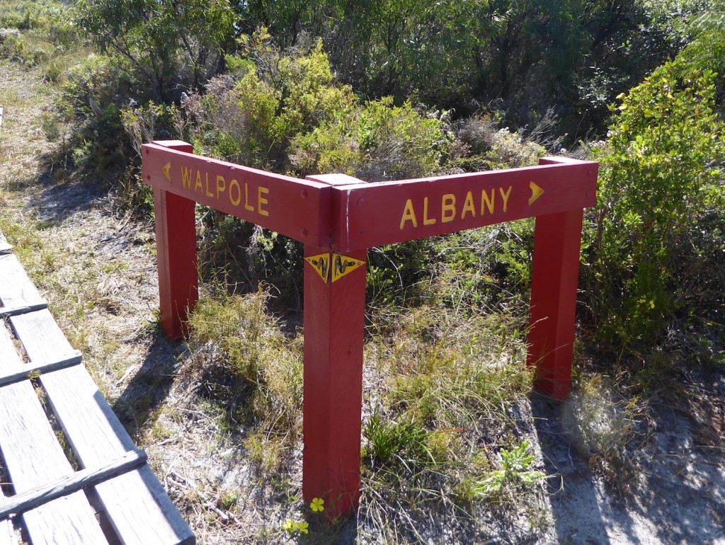
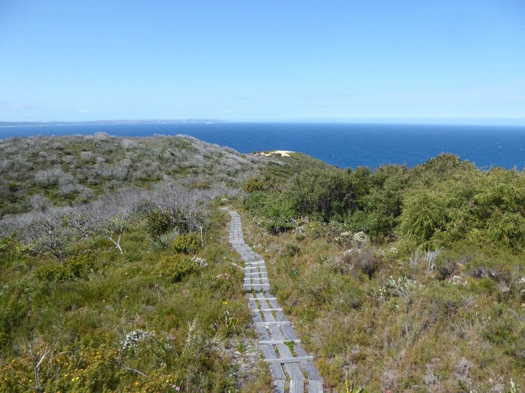
The Bibbilmun Track is a famous walk, a thousand kilometres through some of the most beautiful country in the world. It begins at Kalamunda just east of Perth, and heads south through National Parks and the great forests, reaches the Southern Ocean a few kms west of Broke, near Walpole, and then hugs the coast till it finishes at Albany. We walked along it at West Cape Howe, high above the beach, for a couple of kilometres – only 998 to go now… You see the distinctive Track markers everywhere, and road signs warning “Hikers Crossing”, with markers where the Track intersects. We also saw a few road signs warning of “Wild Animals” which was new to us. Wondered if it was a council worker with a sense of humour. After several hundred kms of dense forest, it might be hard to tell the difference.

It’s not paved like this all the way!

And on to Albany next – the last sight of home for thousands of soldiers during WW1.


Into the Valley of the Giants

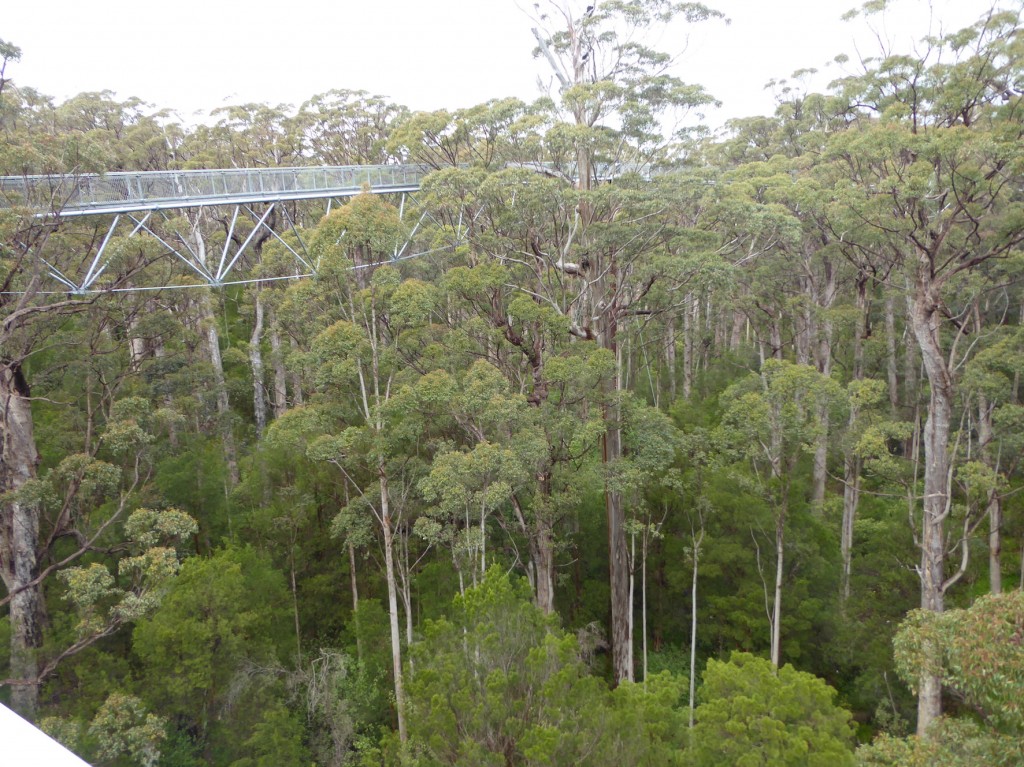
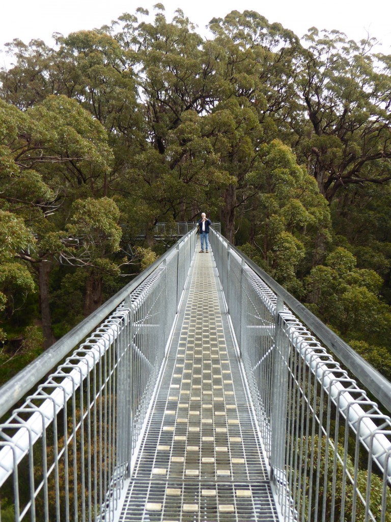
One of the places on our MUST SEE list was the famous Tree Top Walk near Walpole. I was worried it might be commercial and Disney-fied, but I’m relieved to be able to report that it’s not. The walkways are cleverly constructed. You’d be forgiven for assuming there’d be a gazillion stairs to climb first to get you into the treetops but instead, after a gently sloping walk you find yourself up amongst the top branches of these giant trees.

The walkways are brilliant because they do two things – they get people into the forest where they can understand and appreciate the wonder of these giants, and they keep us off the ground, where we’d be loving the trees to death by compacting the earth around them. That’s what happened to the giant Tingle tree that people used to drive their cars through many years ago. One day it just fell over, while a car was in it.

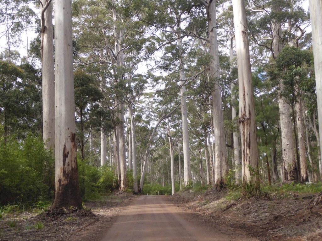
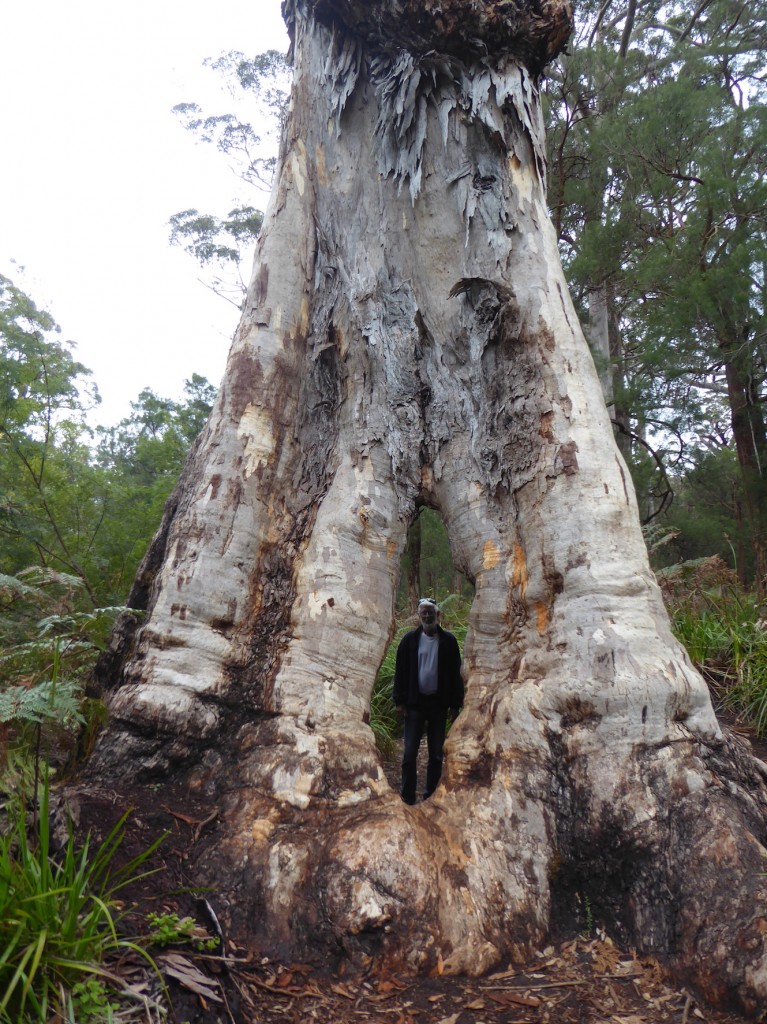
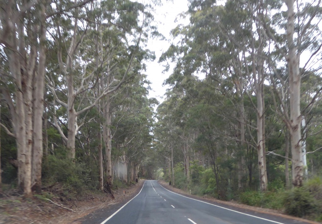
Thankfully this one didn’t fall over while Lex was in it. This was a different part of the forest, with paths through the trees.  The forest consists mainly of Karri, Marri and the legendary Tingle trees. Karri might be the tallest tree in the forest, but the red Tingle is the biggest. The trunks can be 20 metres in circumference, and often have huge hollows at the base, caused by fire, fungus and insect infestations. They don’t have tap roots, which is why the trunks form these huge buttresses, enabling them to stand up. They can live for over 400 years, and they exist in just 6,000 hectares of the south-west, between 2 rivers, and within 10km of the coast.

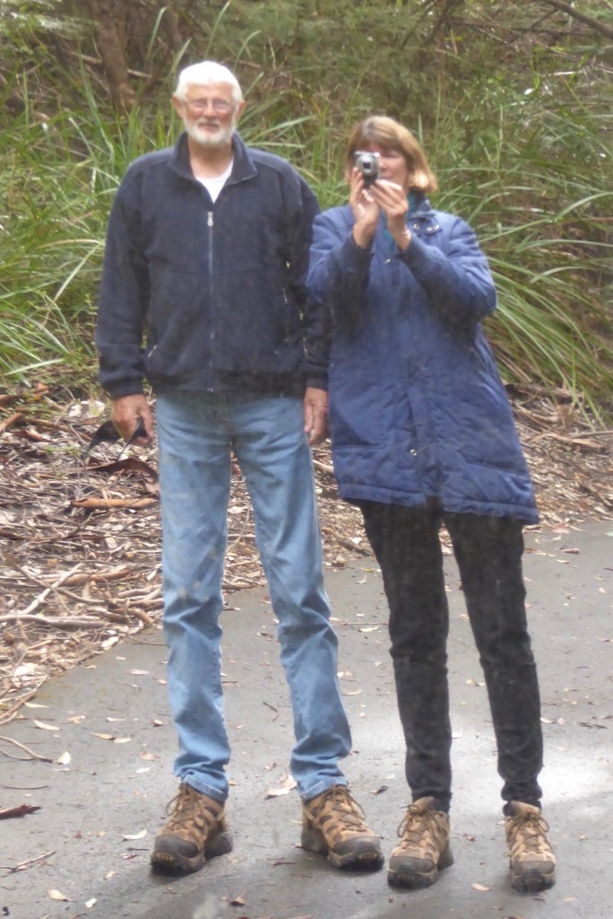
Above: Lex appreciating a Karri tree, in case they were feeling neglected.   We came across the Swarbrick art trail, an eclectic display of artwork out in the bush. The first thing you come across at these unusual exhibitions, is yourself:

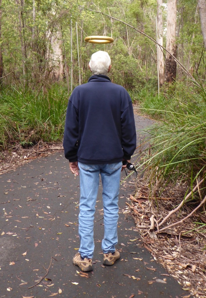
A very unusual use of highly polished metal! I guess it puts you in the picture where the trees are concerned.  You also find out other things:

Lex has a halo! Who knew?

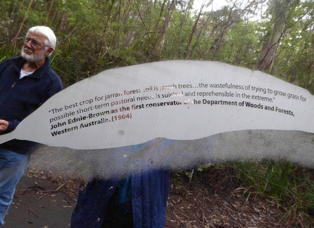
And to discover that conservation is not a new concept – thankfully, or we would not have these magnificent forests to marvel at and to make us aware of the importance of

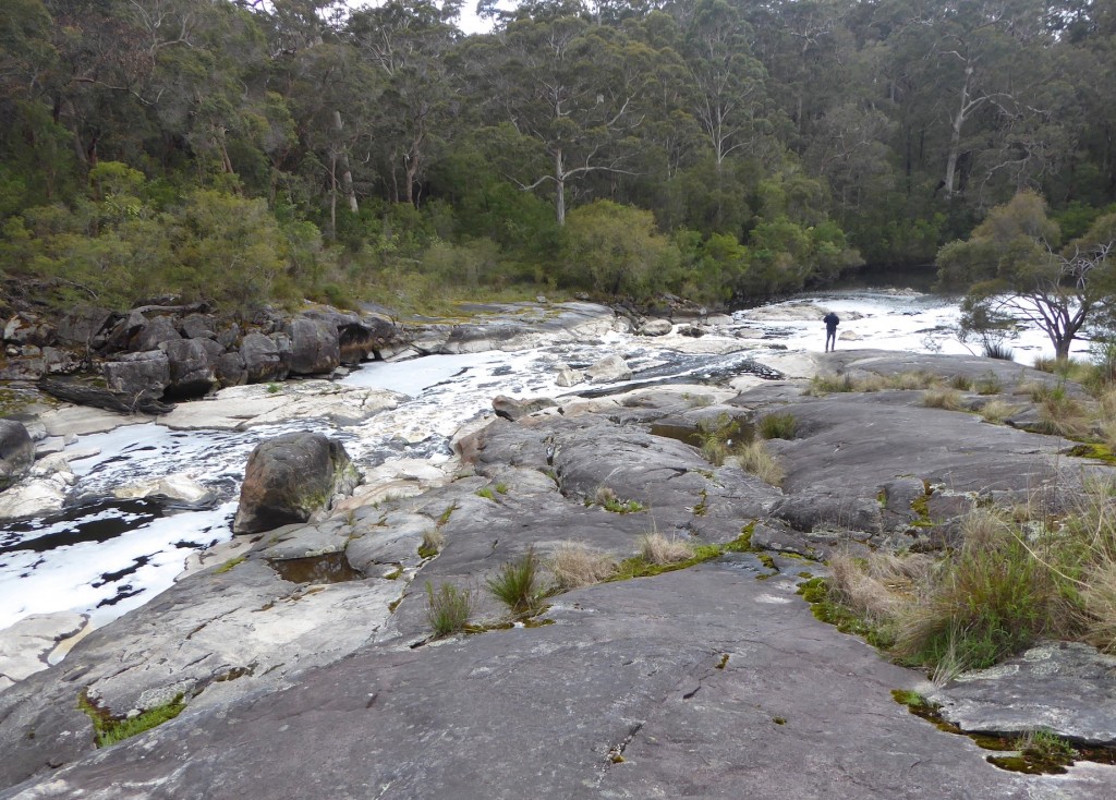
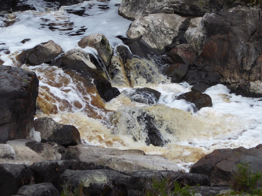
Walpole is a great stepping out point for so many wonderful sights, such as the Circular Pool, a natural cappuccino. At first glance it looks like a badly polluted stream. Natural saponin in the water (from trees) turns it a dark brown, and when it tumbles over rocks churning air through it, the saponin produces a white foam

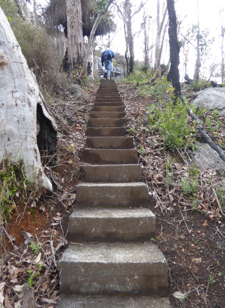
We climbed Mt Frankland. I can say ‘climbed’ because there were 300 steps (and not shallow ones) and a vertical ladder involved, not to mention a few hundred metres of steeply sloping trail as well.

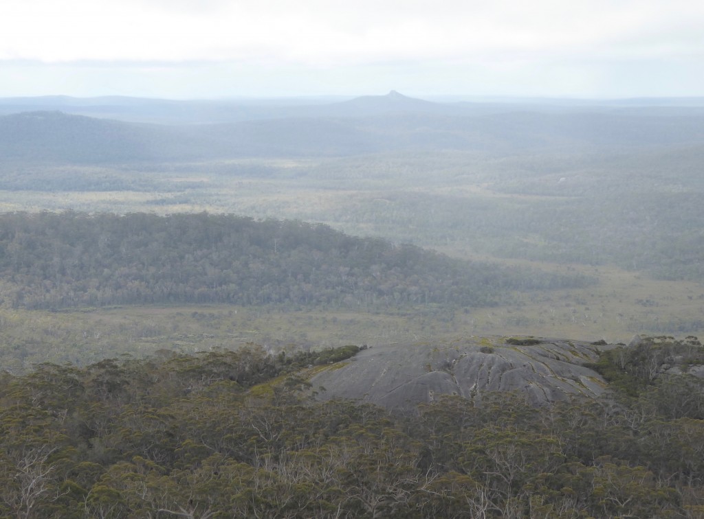
But the view from the top was worth the effort, even if it was a pretty gloomy day. The rain held off until we’d climbed back down

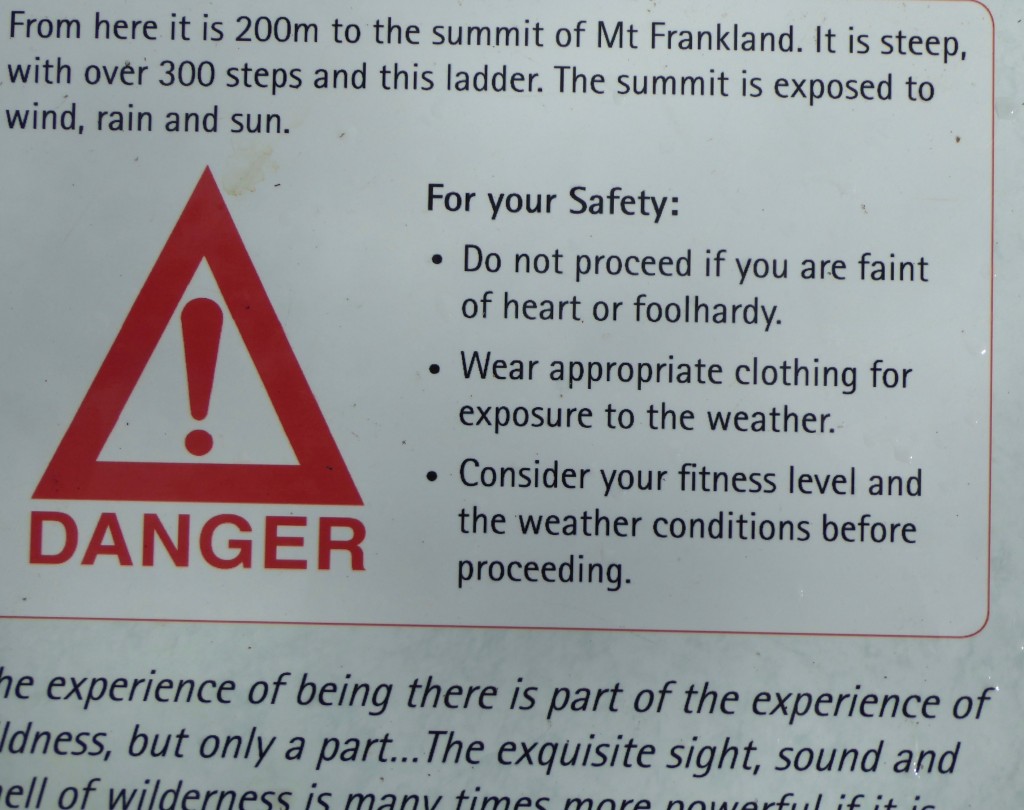
And I am continuing my love affair with Western Australian signage:

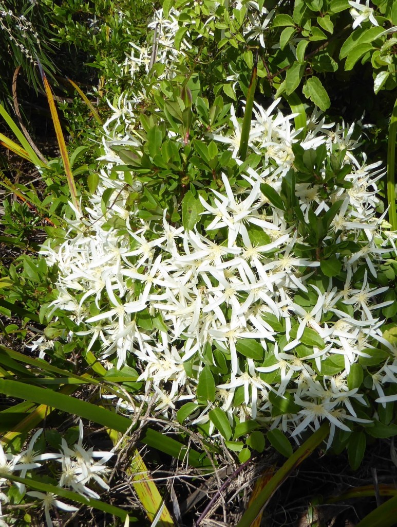
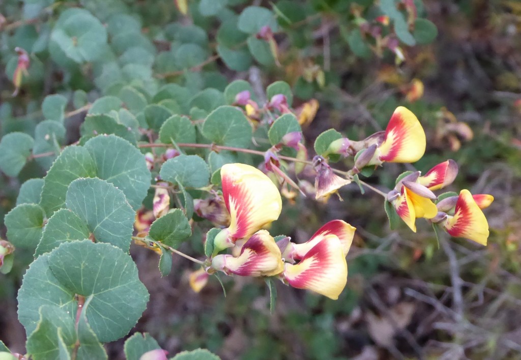
Who amongst you is prepared to admit you are foolhardy and therefore should not attempt the climb!      And in case anyone is suffering withdrawal symptoms, here are some of the flowers we saw that day…


From the North pole to the South pole to Walpole

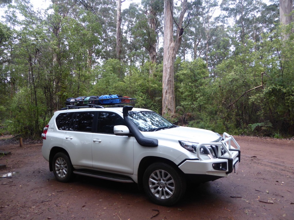
It was a wet last night in the forest, but we stayed dry in our trusty tent. I keep telling myself to suck up the cold, it’s not going to last. We’ll be back in the Top End all too soon as far as the weather goes. We were fuelling up somewhere along the west coast and Lex was chatting to a young bloke doing the same. The young bloke asked what was Lex towing? Lex replied, nothing, we’re just a Prado, a tent and an Esky. The young fella looked amazed, and said, “Wow, old school, man! Way to go!” Old school may be a little more uncomfortable when it’s 6C and raining, but it has it’s advantages. Well, some. Just don’t ask me when it’s wet and windy!   And on to – wonderful Walpole!

If I’d had a science teacher like Gary Muir at school, I would have become a biologist, or a botanist or a marine scientist. When we arrived at Walpole, after leaving the Shannon forest area, we had the great good luck to hear about WOW Eco Cruises.  I’ve never met anyone who could make science sound like the most fascinating, vital and important occupation on earth. And he has none of those titles himself. As far as I know he has no tertiary qualifications, but he held 40 people  – including several prominent environmental scientists – absolutely spellbound and entertained for over 2 1/2 hours.

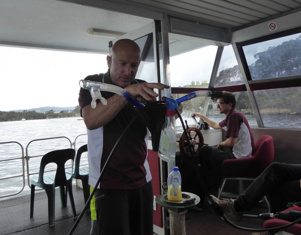
Such a combination of knowledge, information and humour. A really funny man, who spoke non-stop in a torrent of words, acting out examples – eg using a couple of snorkels, a fuel line and a funnel -and then a fire extinguisher – to demonstrate the evolution of the marsupial reproductive system. (It’s not the pouch – it’s the bladder that is the real difference!)  Gary Muir is a 7th generation Australian whose family took up land in the area over 100 years ago, and had strong links with the local Murrim people. The Muirs learned about the country from them, and looked after it, becoming responsible for the conserving of some huge areas of land today.

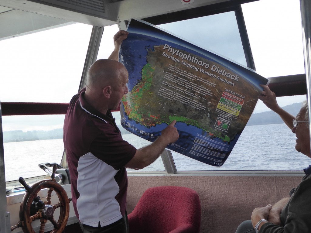
Gary wasn’t just an expert on biology – he interweaved stories about dieback and tectonic plates and continental shift and plant diversity with the Drefyus Affair and 18th century French politics and the Dutch East India Company and all with the most amazing connections with Walpole, this tiny little place at the bottom of the world. Wish I had a video of his presentation. Needed to take notes but was too busy laughing or being stunned in equal portions. His offsider is a young marine biologist from Belgium who was researching in Lombok when he holidayed in Walpole and stayed. He’ll probably never leave.

Cruising across the inlet to an island, we learned about the scourge of dieback and the damage it’s causing. It’s a scurrilous organism, a kind of mould called Phytopthora  that ‘swims’ through the soil to attack vulnerable species. We were visiting a pristine environment and went through a very thorough disinfecting of our boots before going aboard the boat, a three step process which Muir invented himself and is now used all over Australia.

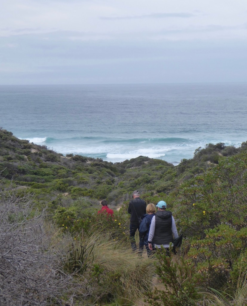
We hiked across the island from the inlet to the outside ocean and collected bits of plastic  along the tide line for a research project monitoring plastic pollution. As well as broken pieces we collected tiny white plastic beads that fell off a ship near Africa about 2 years ago, on their way to plastics manufacturers. Exactly the right size to be eaten by just about everything in the ocean – or above it. When are we going to wake up …

It’s a pristine beach at the bottom of the world, as far away from a plastics factory as you could think, but plastic ends up here too.  Our time at Walpole was fantastic, mainly for the access it gave us to so many other areas, which I’ll post about next time. Gary Muir just captivated us so much he deserved a post all to himself! It’s these kinds of meetings and learning about a place that make travelling so rewarding.